
Košík (
0
)
No items found.
Go to pricingProduct is not available in this quantity.
A professional drone designed for exceptional payload and flight time. Built-in visual SLAM and obstacle detection ensure intelligent, safe operation – ideal for mapping, inspections and operations in difficult conditions.
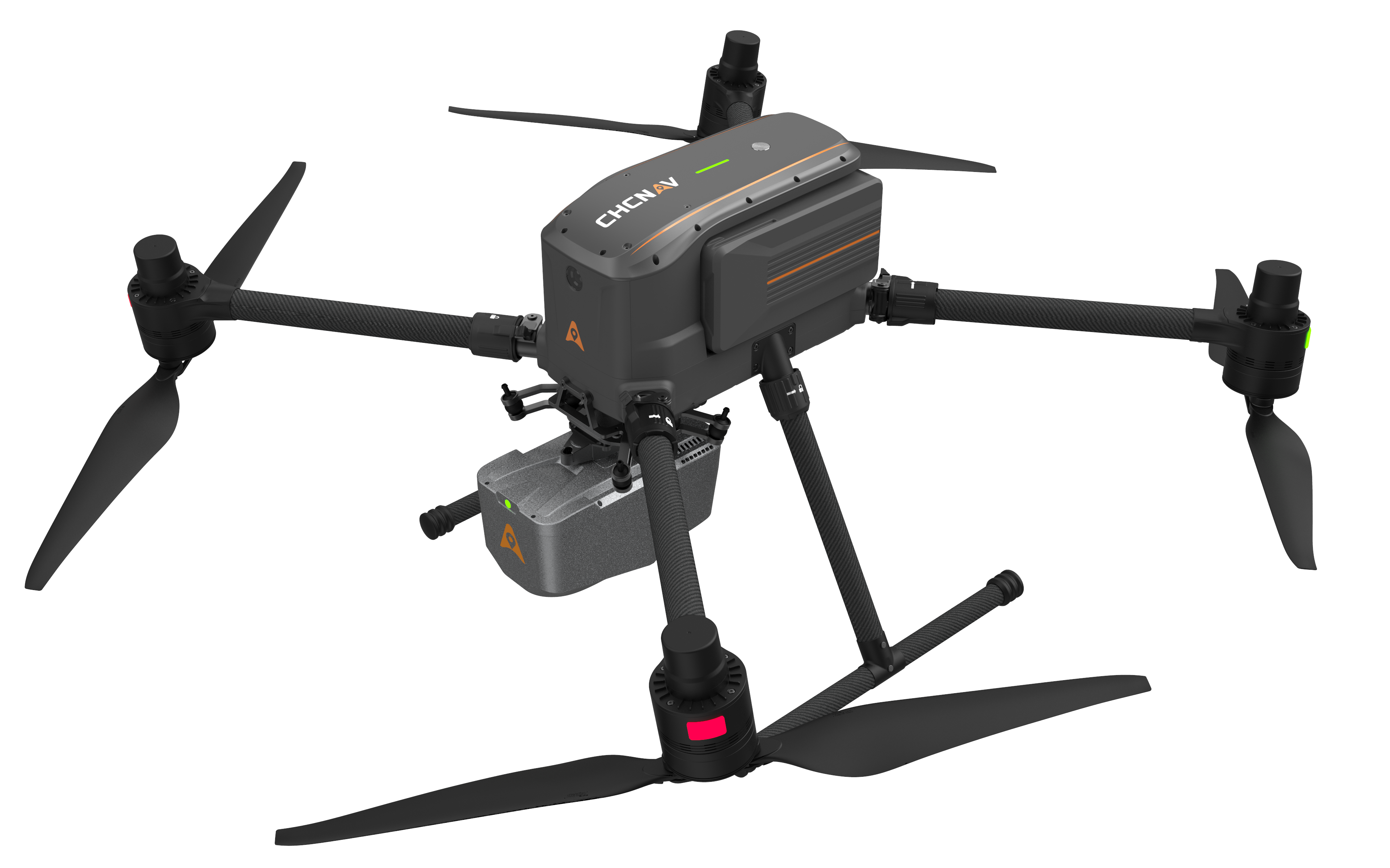
The CHCNAV X500 is a professional drone with advanced flight control and high-precision positioning. It is compatible with CHCNAV sensors and third-party devices and is ideal for surveying, urban monitoring, reconnaissance, emergency response and inspections.
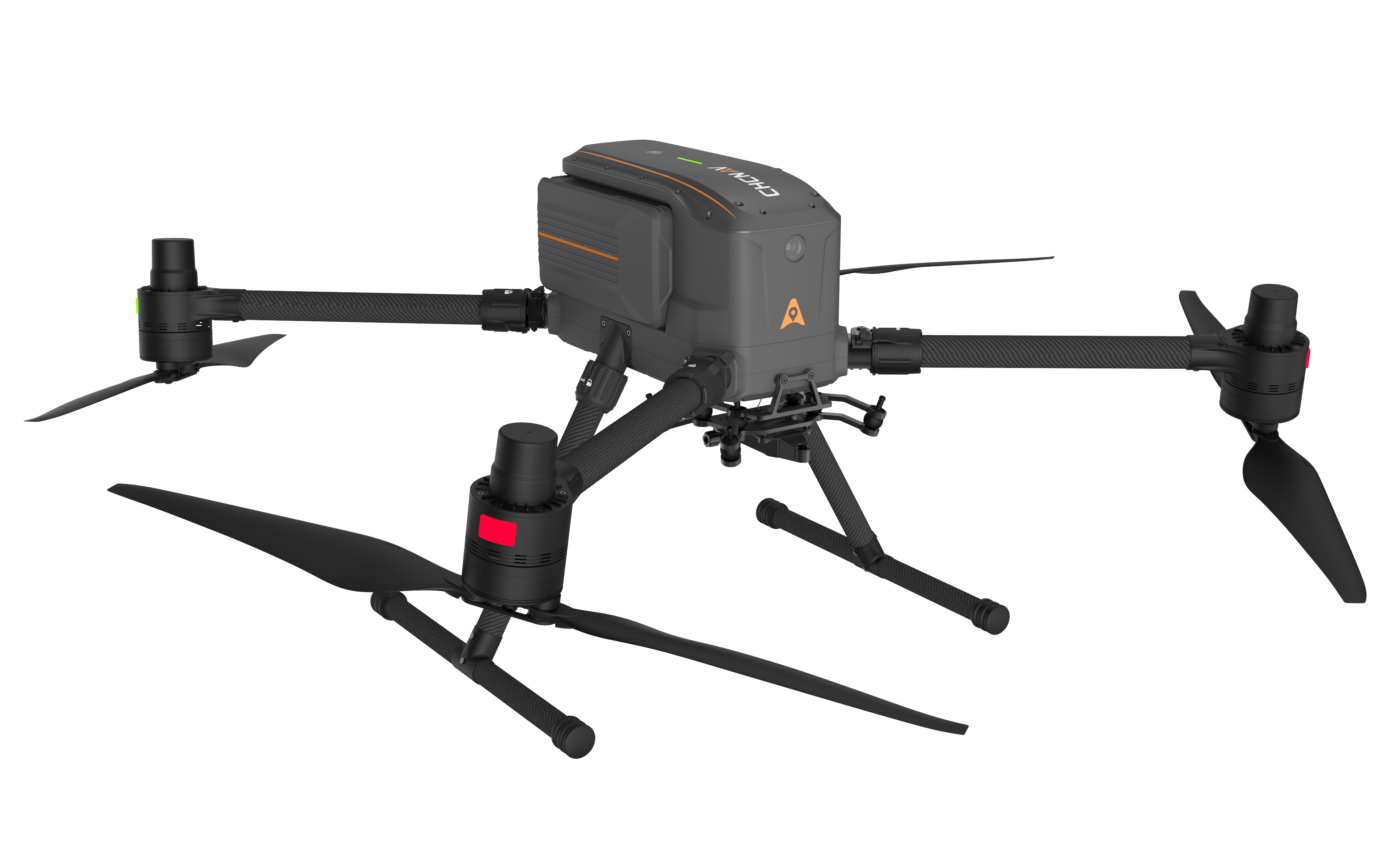
Adjusts its altitude to avoid collisions. Lands even if a propeller fails.
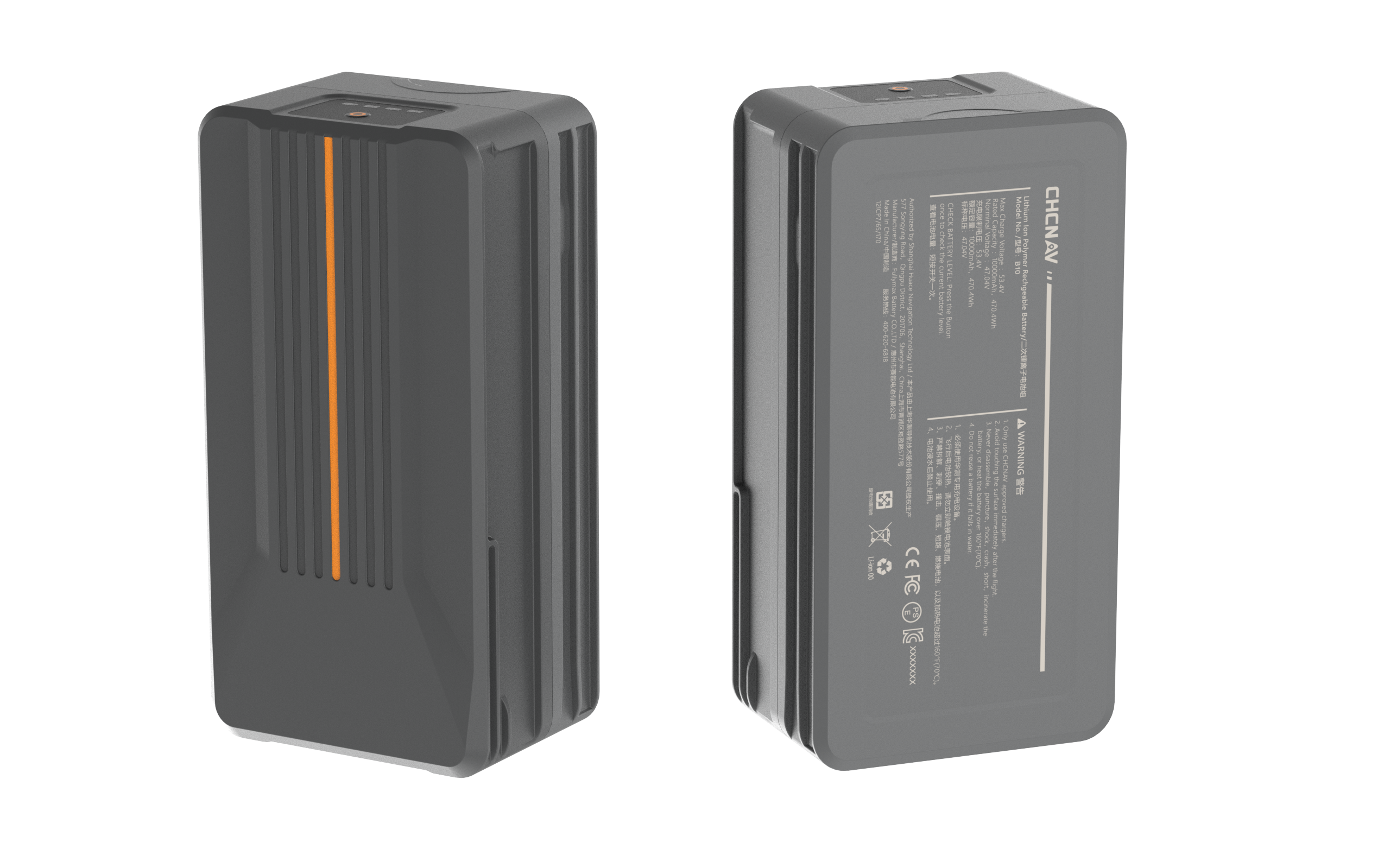
Smooth take-offs and uninterrupted power for multiple flights in a row.
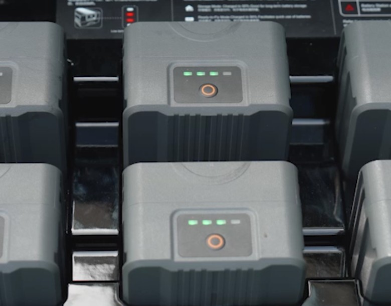
The charging station doubles as a power bank for greater efficiency in the field.
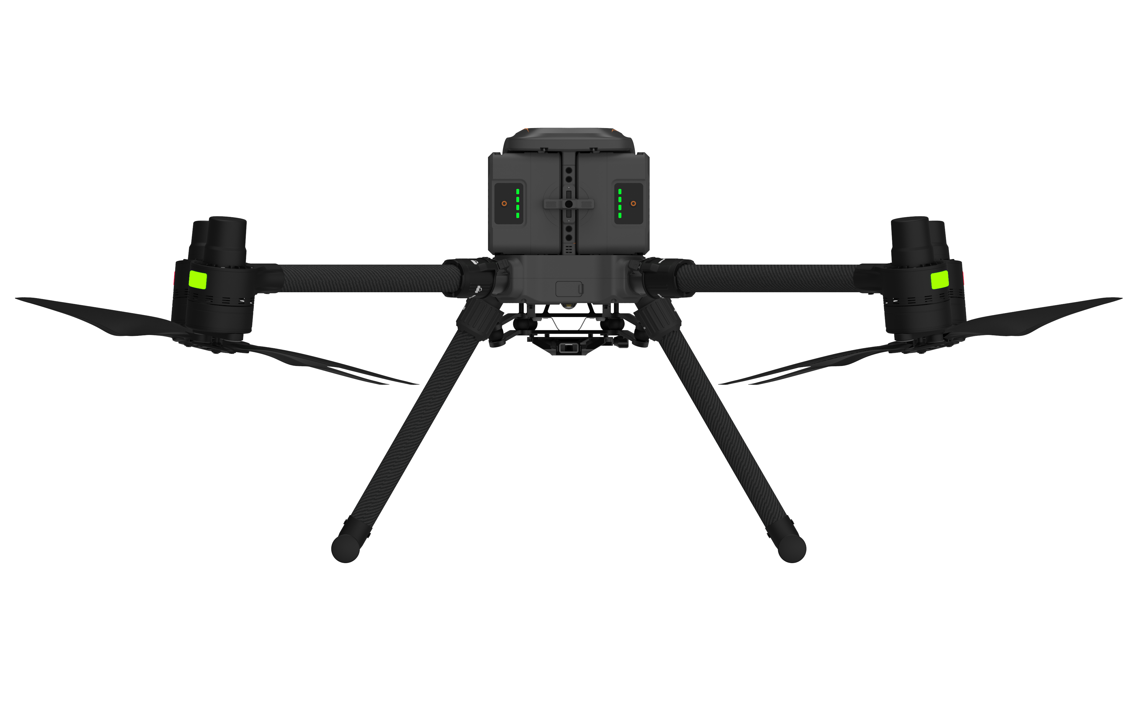
One-person operation and easy transport to the deployment site.
The X500 carries up to 3 payloads simultaneously (up to 5 kg) and its open AlphaPort interface allows quick one-click sensor swaps. For aerial mapping, CHCNAV offers the AlphaAir range of airborne LiDARs – from the ultra-light AA6 to the premium long-range AA15. Process all data in CHCNAV CoPre and CoProcess software.
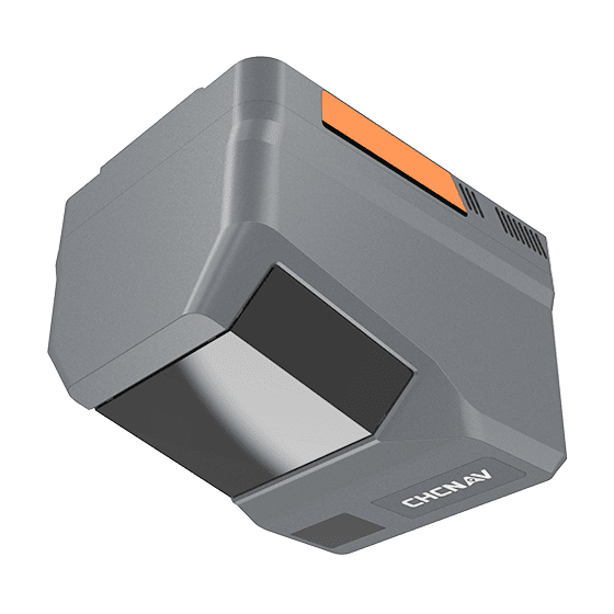
Flagship airborne LiDAR + imaging system for demanding terrain and wide-area mapping. Prism scanning with 5th-generation signal processing (RWP), a high-grade IMU (0.3°/h), up to 16 returns and an integrated camera (4/3" CMOS with switchable 25 MP / 100 MP resolution). Weighing just 1.35 kg, it achieves up to 50 min of flight on the X500 and covers 15 km² per mission.
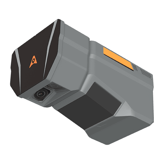
Flagship airborne LiDAR + dual photogrammetric RGB system for high-capacity UAV mapping. A high-precision laser with 5th-generation signal processing (RWP), an integrated dual camera (2× 26 MP APS-C with 110° FOV) and up to 16 returns for unrivalled penetration of dense vegetation. Ideal for demanding terrain, photogrammetry and creating DTMs/DSMs. On the X500 it achieves a flight time of up to 40 minutes and covers 15 km².
Besides LiDARs, the X500 can also carry CHCNAV C5 (orthophoto) and C30 (oblique imaging) aerial cameras. We will be happy to design the right configuration for your type of project.
Specifications are based on the CHCNAV manufacturer's datasheet.