
Cart (
0
)
No items found.
Go to pricingProduct is not available in this quantity.
We provide professional measured building surveys using FJD Trion X1 and T1 LiDAR scanners. We capture the as-built condition of the building quickly and with millimetre accuracy — interiors, facades, plant rooms and the surrounding terrain. You receive accurate point clouds, 2D drawings, 3D models and BIM data compatible with Revit, AutoCAD, Archicad and other CAD systems.

A measured building survey documents the as-built condition of a structure in detail: its geometry, structural elements and components. Instead of measuring by hand with a tape, we use professional 3D laser scanning (LiDAR), so you get complete 3D documentation faster, more accurately and without missed details. It serves renovations, sales, heritage conservation, property management and design work.
Complete capture of facades, roofs, terrain and surrounding features, georeferenced. Ideal for large buildings, heritage sites and industrial complexes.
Detailed scanning of rooms, corridors, plant rooms and attics. We capture the geometry of walls, ceilings, openings and services without manual measuring.
The output is a dense point cloud with colour information and precise coordinates. Compatible with Revit, AutoCAD, Archicad and other professional tools.
A building information model (BIM) based on the scanned data. Every element carries both geometry and metadata for managing the building throughout its life cycle.
From the 3D data we derive scaled floor plans, sections and elevations at the required accuracy, in DWG or PDF format ready for design work.
A complete digital copy of the building for viewing, presentations, virtual tours, simulations or renovation planning without a site visit.
For building surveys we use FJD Trion LiDAR scanners — the handheld X1 with a 360° camera for interiors and facades, and the hybrid T1 for large sites, measuring details from a tripod with 4 mm accuracy. The two devices complement each other and guarantee a complete, accurate survey.
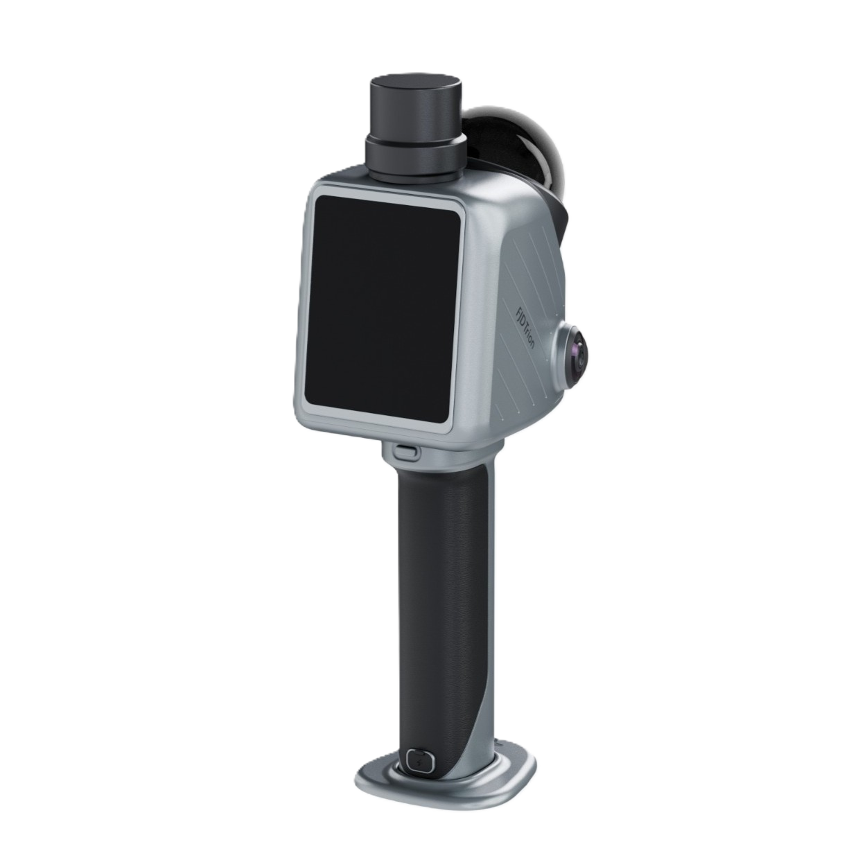
Handheld LiDAR scanner with a 360° camera and built-in GNSS. 10 mm accuracy and a coloured point cloud – we capture interiors, facades and the building's surroundings in a single walk-through.
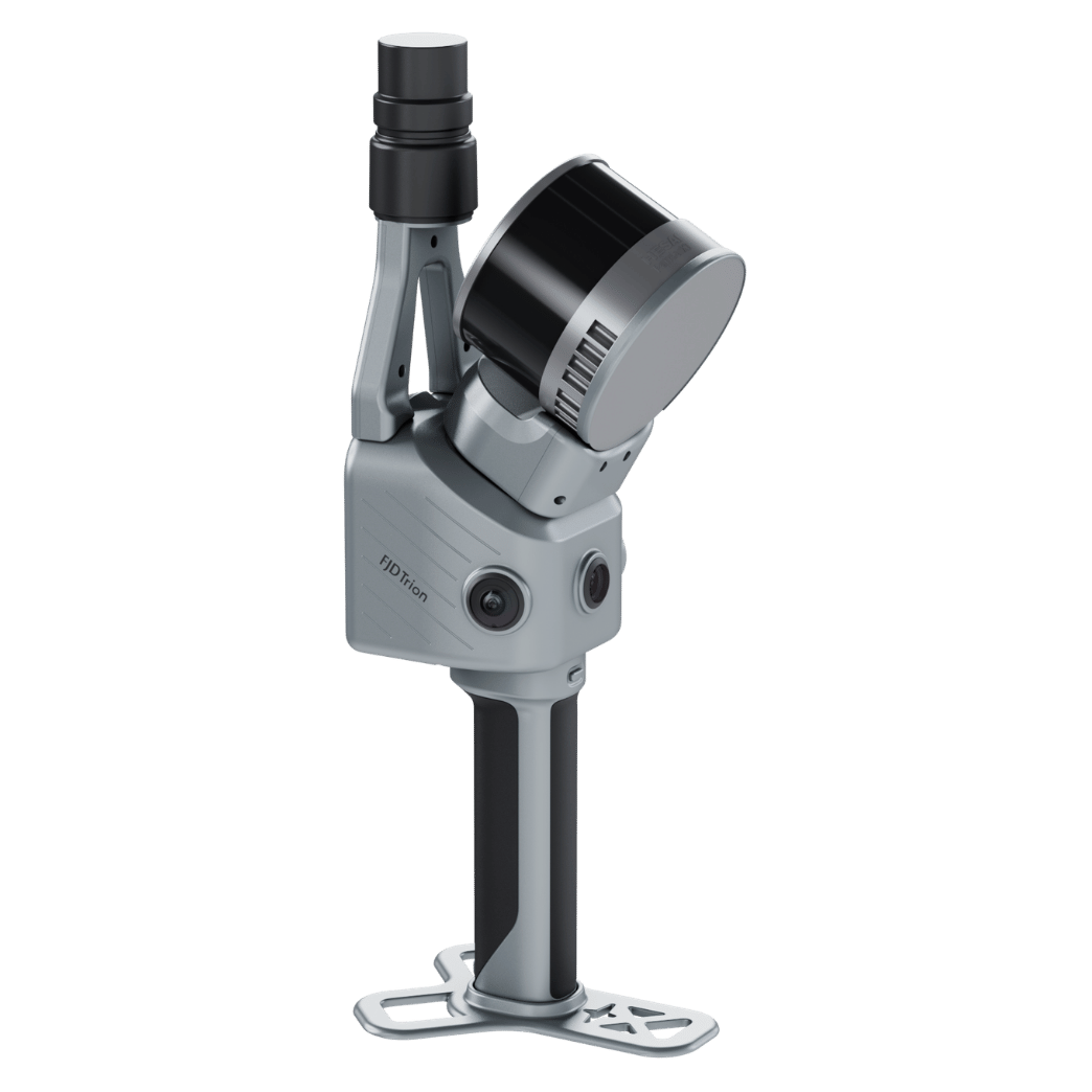
Hybrid scanner: mobile on the move and static on a tripod. It quickly covers entire sites and facades, and measures details from the tripod with 4 mm accuracy.
On most projects we use both scanners — the X1 walks through the building and captures interiors and facades in colour, while the T1 covers the surrounding site at the same time and measures from a tripod wherever the highest accuracy is needed. FJD Trion Scan collects the data in the field, FJD Trion Model merges it and exports to LAS, PLY, OBJ, DXF and other formats — all without external tools.
We run the whole process to keep the burden on you to a minimum, from a free initial consultation to the handover of complete deliverables.
We go through the purpose of the survey, the size of the building, the required accuracy and the output formats. You receive a no-obligation quote.
The team arrives on site with the X1 and T1 scanners. A standard building typically takes 1 day, larger properties 2–3 days.
We merge the scans into a point cloud in FJD Trion Model software and align it to the coordinate system.
From the point cloud we derive 2D drawings, a 3D model or a BIM structure according to the agreed scope and LOD.
You receive a complete package of deliverables in the agreed formats, including documentation. Consultation included in the price.
From individual design studios to facility managers of large sites: wherever an accurate, up-to-date digital picture of a building is needed.
A reliable as-built basis for renovations, extensions and conversions, with no worries about finding something on site that is missing from the drawings.
Accurate data for due diligence, valuation, renovation planning or presenting the property to prospective tenants in a virtual tour.
Complete documentation of historic buildings with millimetre accuracy for records, restoration work and scientific research, without any intervention in the structure.
A digital building record linked to building management systems makes maintenance, asset registers and renovation planning easier throughout the building's life cycle.
Surveys of halls, process equipment and utility networks, including clash detection and the design of new equipment: complete 3D data for engineering and production planning.
Digital records of public buildings, schools and offices for efficient management, investment planning and meeting BIM requirements in public procurement.
We deliver in industry-standard formats, so the outputs slot straight into your existing workflow.
Raw LiDAR scan data with RGB colour and coordinates.
A building information model with parametric elements and metadata.
An open format for data exchange between BIM applications.
Vectorised floor plans, sections and elevations to scale
A polygon model for visualisation, VR and presentations.
A modern format for realistic display in a web browser.
Spatial panoramas with an exact position for virtual tours.
Condition documentation with a register of rooms, areas and equipment.
The Czech BIM Act No. 330/2025 Coll. applies from 1 January 2027. A digital building record is the first step: download our free guide on how to prepare.
We will be happy to advise you and call you back.
Leave us your contact details and our sales representative will get in touch as soon as possible to explain everything in detail.