
3D scanning and mapping services
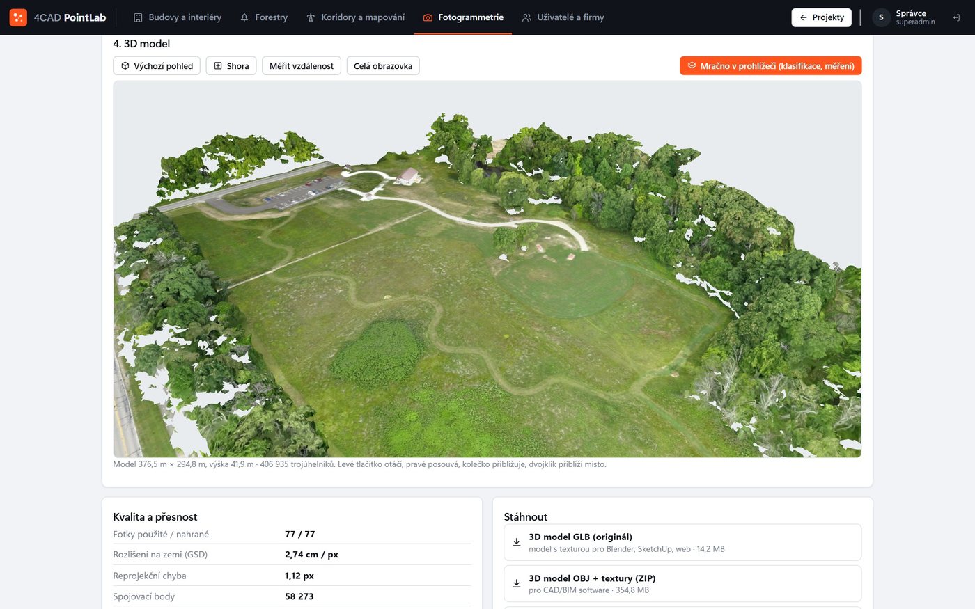
We come on site, capture the data and process it: buildings and interiors, halls and industrial sites, forests, power lines and transport routes, and land mapped by drone. You don't just get a point cloud, but a result you can work with right away – drawings, a BIM model, a tree list, a power line inventory or an orthophoto.
We scan in: Czechia · Slovakia · Poland · Austria · Germany · data processed in 4CAD PointLab
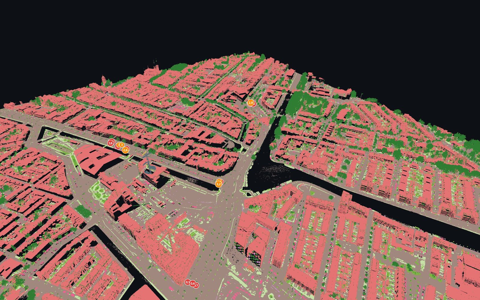
What we scan
From a single building to entire landscapes
We process each type of project in the matching 4CAD PointLab module. Choose what you need surveyed.

Buildings and interiors
As-built surveys, drawings, BIM models and building documentation.
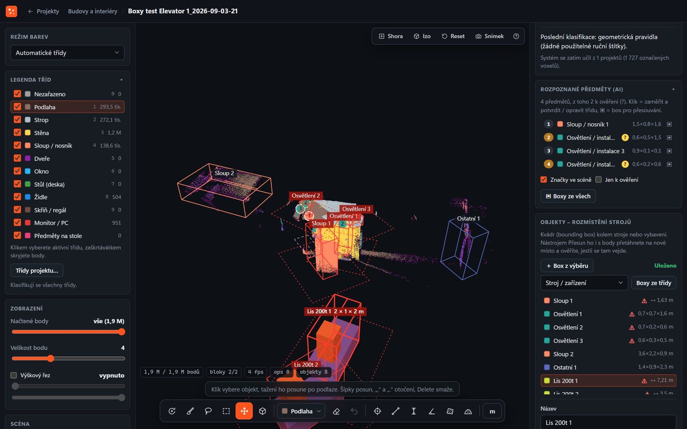
Halls, industrial sites and large structures
Production halls, warehouses and industrial sites as a basis for design and machine layout.
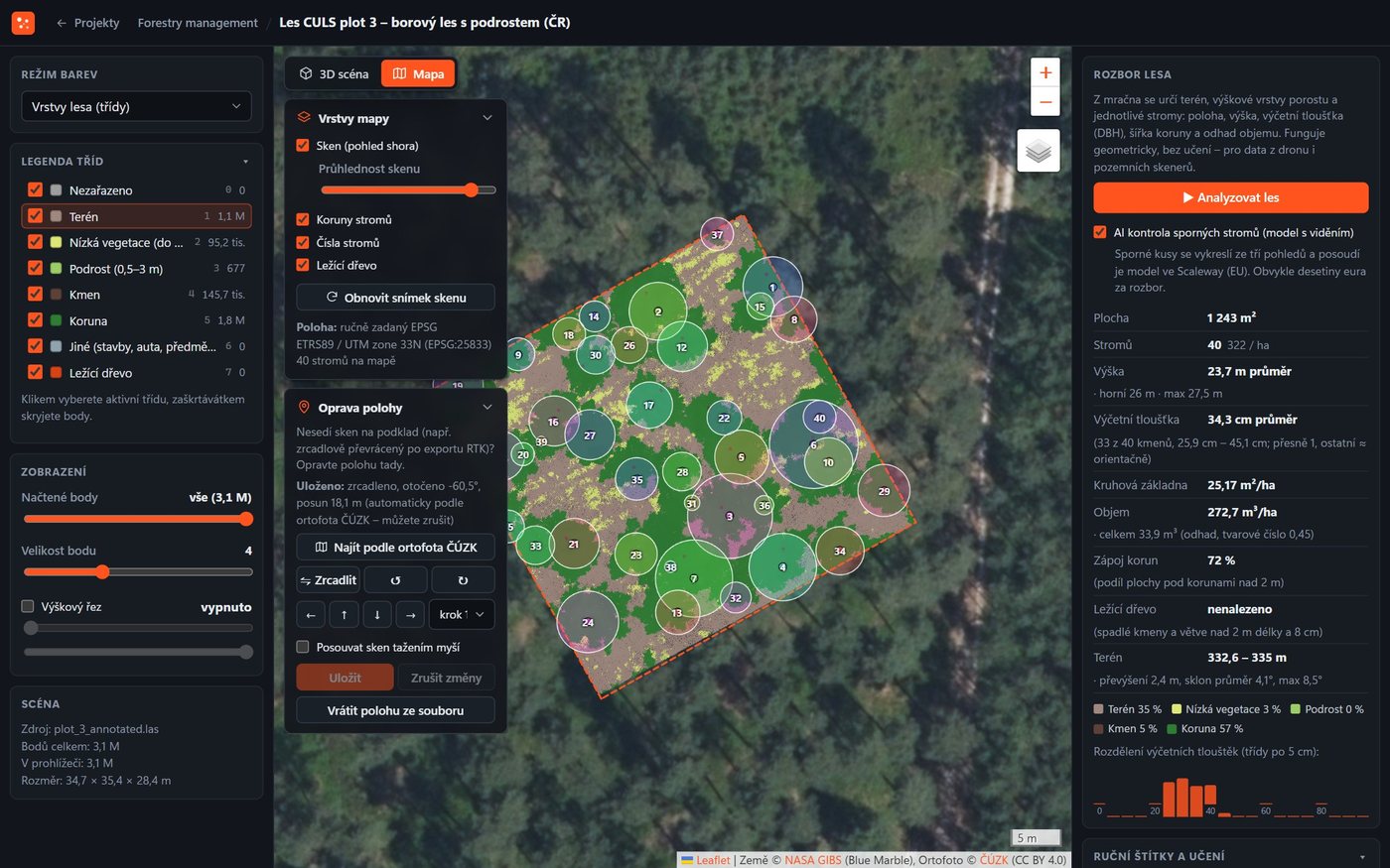
Forests and green spaces
Forest inventory: every tree with its height, diameter at breast height (DBH) and volume.
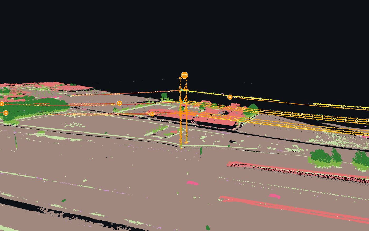
Power lines, railways and roads
Power line right-of-way, rail clearance gauge and road asset inventory.
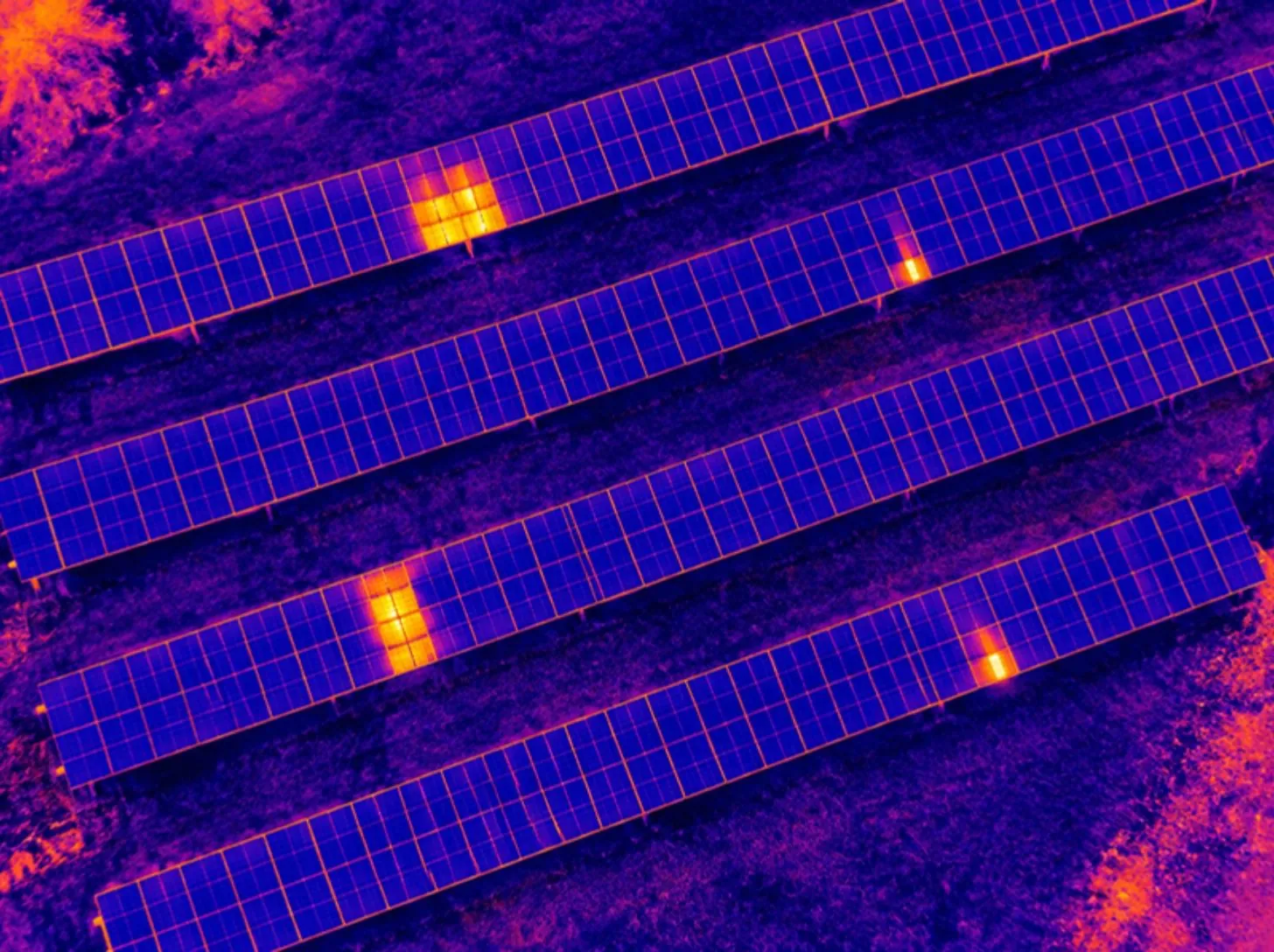
Drone thermal inspection
Solar PV inspection panel by panel and heat loss from roofs and heating pipes with a thermal drone.
Building surveys
Complete digital building documentation: exterior, interior, point cloud, drawings and BIM model.
Industrial parts
Metrology-grade scanning, reverse engineering and dimensional inspection of parts.
Process
How a project works
01
Enquiry and consultation
Tell us what you need surveyed and what you will use the result for. We recommend an approach and prepare a quote.
02
On-site scanning
We come to you and capture the data you need – without you having to buy a scanner or software.
03
Processing and delivery
We process the data in 4CAD PointLab and deliver the output in the format you work with.
Why 4CAD
Results, not millions of points
Scanning, data processing and software, all under one roof.
Ready-to-use output
In 4CAD PointLab we turn the point cloud into drawings, BIM, a forest inventory or asset documentation.
Our own software
You can keep exploring and analysing the data yourself in 4CAD PointLab, with no installation.
Virtual tour
Share the scan as a virtual tour in 4CAD Tour – in the browser, with no installation.
Five countries
We scan in Czechia, Slovakia, Poland, Austria and Germany.
Industry
Metrology-grade 3D scanning of parts
Need an accurate digital model of a real object? With professional 3D scanning, we turn your physical parts into detailed 3D models that are easy to edit and use in CAD software for further design and manufacturing processes.
3D scanning services
With the Shining 3D FreeScan Combo, FreeScan UE Pro 2 and OptimSCAN 3D scanners, we achieve top-class accuracy and scanning speed. FreeScan Combo combines a blue laser with infrared VCSEL light, enabling scanning with an accuracy of up to 0.02 mm at a speed of 3,600,000 points per second. All scanners support export to STL, OBJ and PLY.
Reverse engineering
We convert scan data from a polygon mesh into a surface 3D model (CAD) in Shining 3D Reverse Engineering. We verify model accuracy with a colour deviation map and surface smoothness with a zebra map. The final models are exported in IGES or STEP format.
Dimensional inspection of parts
We compare scan data with the nominal CAD model in Shining 3D Inspect – colour deviation map, inspection sections, and linear, angular and geometric tolerances. The output is a PDF report, an Excel export or a project for the Inspect viewer.
FAQ
Frequently asked questions
What is 3D building scanning?
Non-contact surveying of buildings and spaces with a LiDAR or SLAM scanner. The result is an accurate point cloud for design, renovation, building surveys and as-built documentation.
What is the difference between a LiDAR and a SLAM scanner?
LiDAR measures distances with a laser at high accuracy; SLAM lets you scan on the move and builds up the space continuously – ideal for fast surveys of large structures.
Where do you work?
We work in Czechia, Slovakia, Poland, Austria and Germany. We come on site and capture the data.
How much does 3D scanning cost?
The price depends on the scope, the level of detail required and the deliverables. Send us your brief and we will prepare a no-obligation quote.
What formats will I receive the data in?
A point cloud in LAS, LAZ or E57, plus deliverables for CAD, GIS and BIM depending on what you work with next. We agree on the format in advance.
Can I analyse the data myself?
Yes. You can upload the point cloud to 4CAD PointLab and analyse it yourself, or we can prepare the output for you.
Tell us what you need surveyed
We will advise on the approach, choose the right equipment and prepare a tailored quote.
Contact us
We will be happy to advise you and call you back.
Leave us your contact details and our sales representative will get in touch as soon as possible to explain everything in detail.

