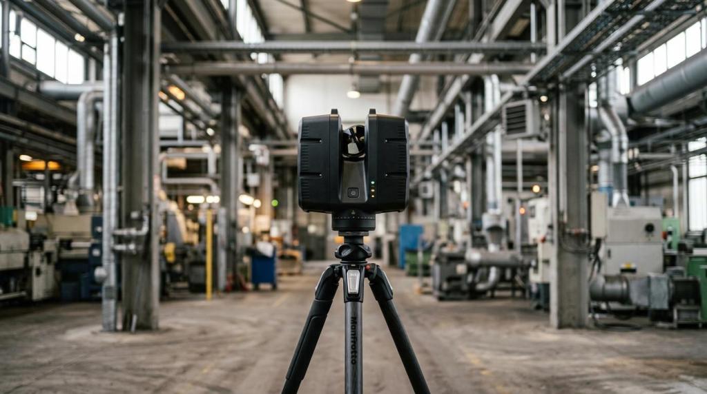
In architecture, construction and facility management, point clouds have become one of the most practical sources of information about existing conditions. Where teams used to rely on estimates, manual re-measuring and repeated site visits, they now capture a digital record of the building with extremely dense data.
This is exactly where LiDAR scanning, smart point cloud processing and a seamless path to BIM come together. When the data is captured well and prepared properly, it can serve as the basis for building documentation, renovations, checks of construction changes and the management of large sites. And this is where Elysium InfiPoints comes in: software built for advanced work with 3D data and for converting point clouds into usable CAD/BIM deliverables.
Point clouds in AEC: an accurate record of as-built conditions
A point cloud is a set of spatial points that together describe the real geometry of a building, an interior, a process plant or terrain. It is most often produced by laser scanning, typically using LiDAR technology. The result is not just visually impressive data but, above all, a highly accurate geometric basis for further decisions.
In the AEC sector, the role of the point cloud is clear. It is not the final design documentation, but a reliable picture of reality. That matters most for existing buildings, where the original drawings no longer match what was built, documentation is missing, or changes were made during operation. Point clouds help cut down on assumptions and bring the work back to verified data.
For Revit, Autodesk states that a point cloud serves as a reference for capturing the existing condition of a building or site as the starting point for a model. That is precisely why point clouds are increasingly used for renovations, building documentation and as-built BIM models.
Once initially processed, a point cloud can support a whole range of follow-up tasks:
- accurate as-built survey of existing conditions
- basis for BIM modelling
- building documentation
- deviation checks between design and reality
- documentation for facility management
- preparation of renovations and upgrades
Point clouds in Revit and BIM: why they work as a reference
When working in BIM, it is important to understand that a point cloud is not the same as a parametric model. A point cloud captures reality in raw form. A BIM model, on the other hand, adds logic, relationships, element classification and the ability to run calculations, schedules and multi-discipline coordination. In practice it therefore makes sense to treat the point cloud as the source of truth and BIM as the structured output.
According to the official documentation, Revit normally links a point cloud as a reference rather than embedding it in the model geometry. That is a very sensible approach. Laser scans routinely contain hundreds of millions to billions of points, and inserting that volume of data directly into a design model would be inefficient. Linking keeps the model manageable while preserving an accurate basis for modelling.
For designers and BIM coordinators this leads to a clear rule. The point cloud should be correctly positioned, ideally in shared coordinates, well organised and used only at the level of detail the task really requires. There is no need to model everything. The key is to bring into BIM those elements that carry design value.
| Area of work | Point cloud | BIM model |
|---|---|---|
| Primary purpose | Capturing reality | Structured digital model |
| Data type | Dense set of points | Parametric elements and relationships |
| Use in Revit | Reference data | Design, coordination, documentation |
| Key strength | Accuracy of existing conditions | Working with information and changes |
| Typical output | Scan, inspection, visualisation | Drawings, schedules, analyses, BIM data |
Elysium InfiPoints: point cloud processing and automated 3D modelling
Elysium InfiPoints targets exactly the gap between a raw scan and a usable model. According to the product information, it is a solution for point cloud processing workflows and automated 3D modelling from large laser-scan datasets. That matters most where simply opening the data and finding your way around it is already a demanding step.
The real value of such point cloud software is not just that it displays the point cloud. What counts is that it helps extract building and plant elements from the data and prepare them for export to BIM and CAD environments. On AEC projects this can mean a significant reduction in the time between scanning and creating an as-built model.
In renovation and technical facility management, the benefit is very tangible. When walls, floors, ceilings or parts of piping systems can be recognised with a higher degree of automation, reality is converted faster into a model you can keep working with. The team spends less time on routine tracing and more time on interpretation and design.
It is also worth noting that InfiPoints is designed with a strong focus on interoperability. That makes sense, because a point cloud rarely stays locked inside a single tool. In practice it moves between scanning software, data clean-up tools, BIM applications and often other systems for inspection, management or archiving.
The typical benefits of this approach can be summed up as follows:
- Automated modelling of building elements: faster conversion of walls, floors and ceilings into BIM/CAD environments
- Working with plant and piping: better support for modelling the operational and industrial parts of a facility
- Processing large datasets: suitable even for extensive point clouds from laser scanners
- Interoperable outputs: connection to export formats and further CAD/BIM workflows
The workflow from LiDAR scanning to BIM data and building documentation
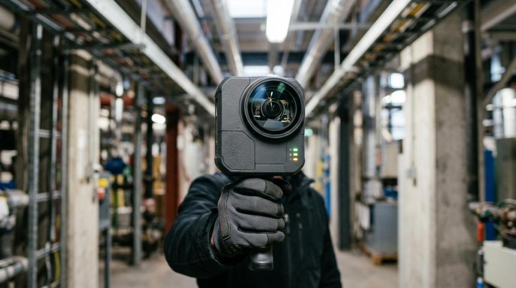
A well-designed process starts on site. The quality of the result depends not only on the software but also on how the data is captured. For existing buildings, mobile and handheld SLAM LiDAR scanners are increasingly popular because they can quickly cover interiors, complex circulation areas and technical rooms. This approach is ideal for documenting buildings, operational sites or properties ahead of renovation.
This is exactly the kind of workflow 4CAD offers. Our building documentation service describes the whole chain from LiDAR scan to dense point cloud, 2D drawings, 3D models and BIM data compatible with tools such as Revit, AutoCAD and Archicad. For clients and design offices this is important, because it shortens the path from survey to deliverables that can be used in the project.
FJD Trion scanners are part of this approach too. With handheld systems, the main attractions are the speed of data capture in live operation and the ability to reach places where a conventional static method is slower. For buildings and interiors, that is often the difference between several site visits and one efficient scanning day.
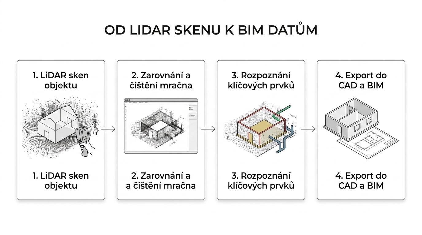
The truly valuable part of the work only begins after capture, though. The data has to be registered, cleaned, classified and checked, and only then turned into drawings, a model or BIM data. This is where hardware, processing software and the experience of a team that knows what the final model really needs all come together.
| Workflow stage | What is produced | Typical benefit |
|---|---|---|
| LiDAR scanning of the building | Primary spatial data | Fast capture of reality |
| Point cloud processing | Registered and cleaned point cloud | Accurate basis for further work |
| Interpreting structures | Recognition of elements and geometry | Time savings in modelling |
| CAD/BIM outputs | 2D drawings, 3D model, BIM data | Direct use in the project |
| Sharing and coordination | Reference data for the team | Better decisions and lower risk of errors |
Point cloud formats, export and interoperability between tools
With point clouds, accuracy is not the only thing that matters; so does the ability to hand the data on safely. If a workflow ends in a format that other project participants cannot open or convert, part of the value of the entire scan is lost. That is why open, widely used export formats are so important in practice.
In the 4CAD portfolio, FJD Trion Model software is described as a tool for working with point cloud data from FJD Trion scanners, supporting automatic registration, classification and export to formats such as .las, .ply, .e57 and .dxf. From a BIM and AEC perspective this is very useful. E57 is one of the most common ways to exchange scan data, DXF fits well into parts of the CAD workflow, and LAS is handy wherever you work with broader surveying or infrastructure data.
Larger projects often do not end with the building model. A point cloud can also feed into more detailed parts of the design, into prefabrication or into the creation of supporting production documents. When digital data flows into engineering and manufacturing processes as well, it makes sense to build on CAD automation and engineering data management, topics also covered by Techcad.cz. In practice, the link between scanning, BIM and design software is often extremely valuable.
Where point clouds add the most value in architecture, facility management and industry
Point clouds deliver the greatest benefit wherever reality is more complex than the paper documentation. Older buildings, technical facilities, heritage properties, industrial sites and large interiors share a common problem: without an accurate survey, errors spread very quickly. A point cloud greatly reduces this risk.
In architecture and design, the main gain is certainty before the design work starts. In renovations it often turns out that a difference of a few centimetres decides the routing of building services, the height of a suspended ceiling or the placement of prefabricated elements. In such situations, a high-quality point cloud is much more than documentation. It underpins the budget, the schedule and communication between disciplines.
In building and facility management, the point cloud plays a strong role as a source of data about actual conditions. This helps when planning repairs, managing building services and preparing upgrades. On large properties it also helps prioritise interventions, because the facility manager works not just with a written description of defects but with an accurate spatial picture of reality.
In industry and infrastructure, the value is often even greater. Pipe runs, steel structures, process units and machinery have complex geometry and frequently very little spare space. When these parts can be converted from a point cloud into a 3D model faster and with less manual work, both the quality and the pace of the whole preparation phase improve.
The most common scenarios in which investing in point clouds pays off look like this:
- Building renovations: fewer clashes and a more accurate design of the existing condition
- Building documentation: fast acquisition of data for managing and refurbishing the property
- As-built BIM model: better coordination between disciplines and follow-on modifications
- Industrial facilities: more precise work with process equipment, piping and confined spaces
- Heritage and complex buildings: safer documentation without excessive intervention
Companies and institutions that want real performance from point clouds today need more than the scan itself. They need a connected workflow that links LiDAR data capture, smart point cloud processing, export to the right formats and work in a BIM environment. It is precisely this combination of scanning, building documentation, software processing and a path into Revit or other CAD/BIM tools that turns a point cloud from a bulky dataset into a practical basis for decisions.