
FJD Trion T1 – hybrid mobile and terrestrial laser scanner
One scanner for the whole job. Cover large areas quickly in mobile mode, and where detail matters, switch to tripod scanning with 4 mm accuracy at 10 m – all in one workflow.
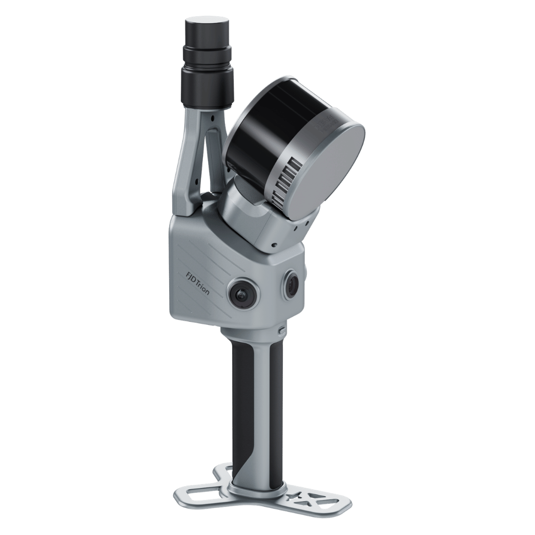
Professional scanning on your terms
4 mm
Relative accuracy from a tripod at 10 m

2 modes
Mobile and terrestrial scanning with one device

640,000
Points per second

3.5 hours
Runtime on two battery handles

up to 120 m
Range in mobile mode

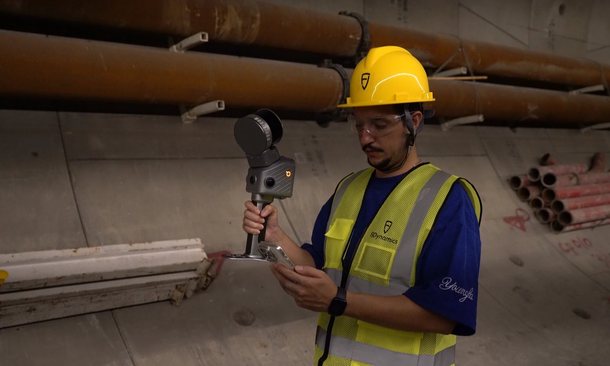
Mobile mode: cover more in less time
In mobile mode you move freely and can easily get through complex spaces and large areas. Range of up to 120 m and relative accuracy ≤ 1 cm. Scan handheld, from a vehicle or from the air.
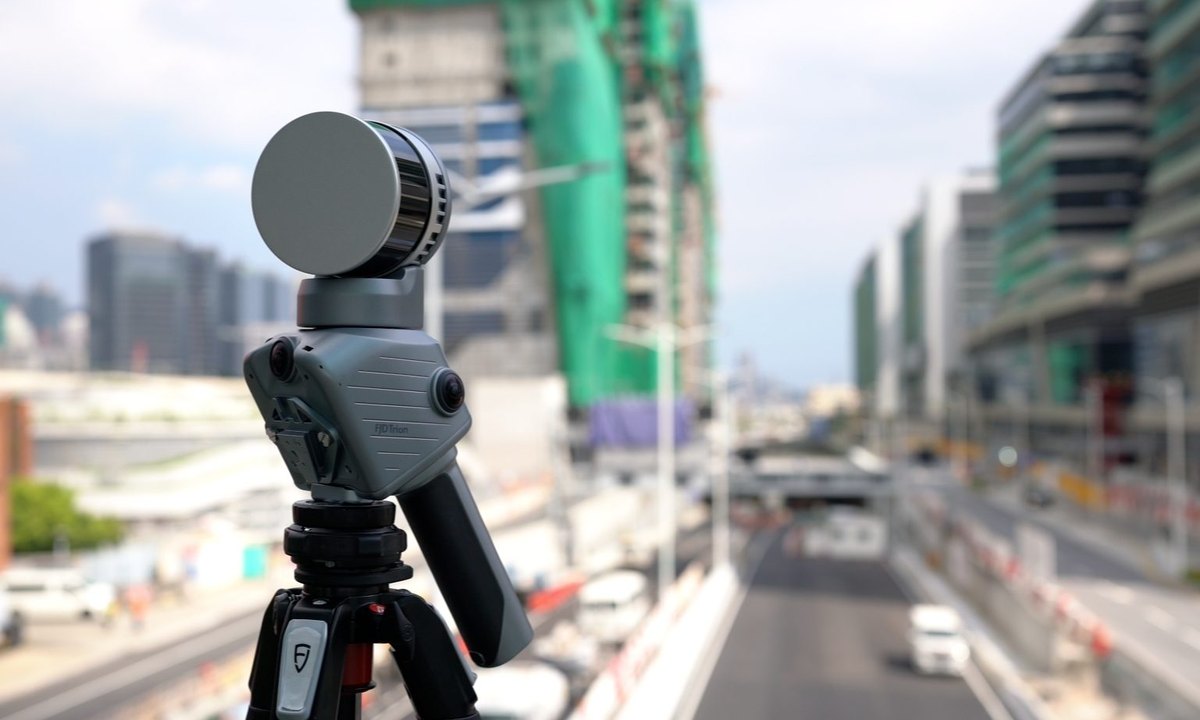
Terrestrial mode: accuracy where it matters
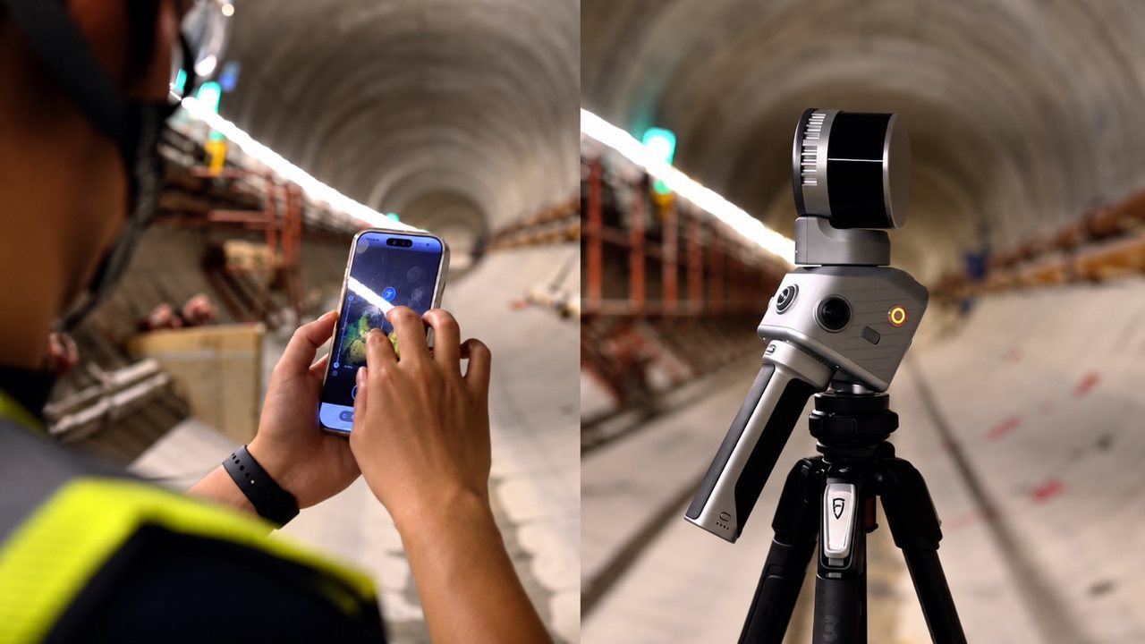
Scan critical areas from a tripod with millimetre accuracy and finer detail – 4 mm at 10 m and 8 mm at 30 m, with a range of up to 60 m. A station takes 30 seconds to 2 minutes depending on the selected density, always with the same nominal accuracy.
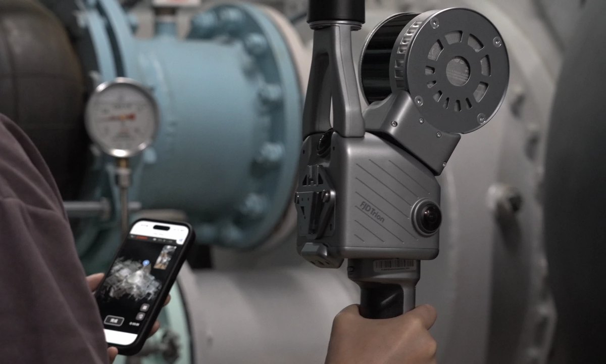
See your scan take shape
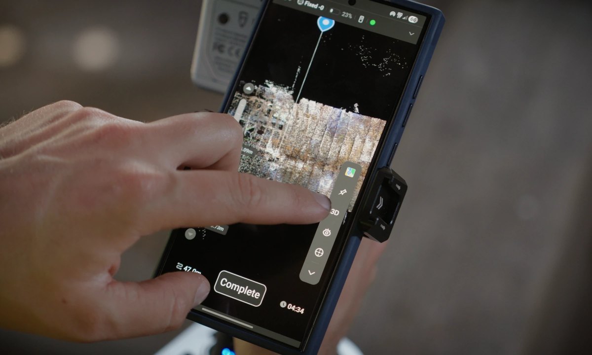
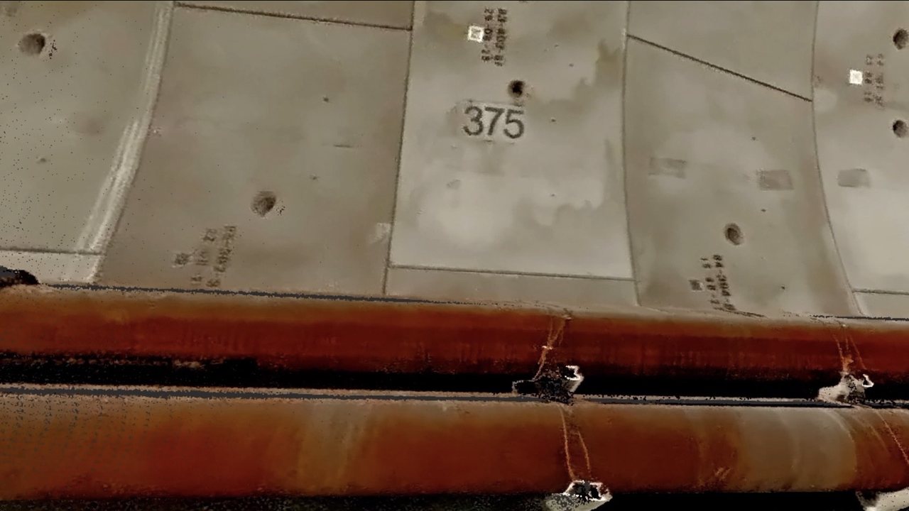
Two 48 MP cameras capture 360° panoramas at every station for true-to-life colourisation of the point cloud. You watch the coloured point cloud in real time in 2D and 3D, so you spot any missed areas before you leave the site.
Large projects without manual registration
T1 handles continuous scanning for up to 1 hour at a time. Capture a large site in stages, or come back later to add changes – simply continue from an already scanned area and the software merges the data automatically, with no manual stitching of point clouds.
Adapts to conditions on site
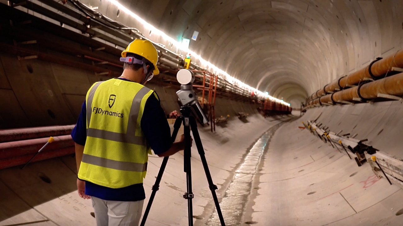
From long linear structures to large, complex sites: set up T1 for scanning from a tripod, handheld, from a vehicle or from the air, depending on what the site requires.
Linked stations
When moving between stations, multi-sensor SLAM records their relative position, so scans from different stations are aligned more efficiently during processing.
Speed or detail
Capture a station in as little as 30 seconds, or choose a higher density of up to 2 minutes – always with the same nominal accuracy.
The whole site, not just a scan
From a tripod, three 48 MP cameras capture 360° panoramas and true-colour point clouds that bring the site to life in 3D.
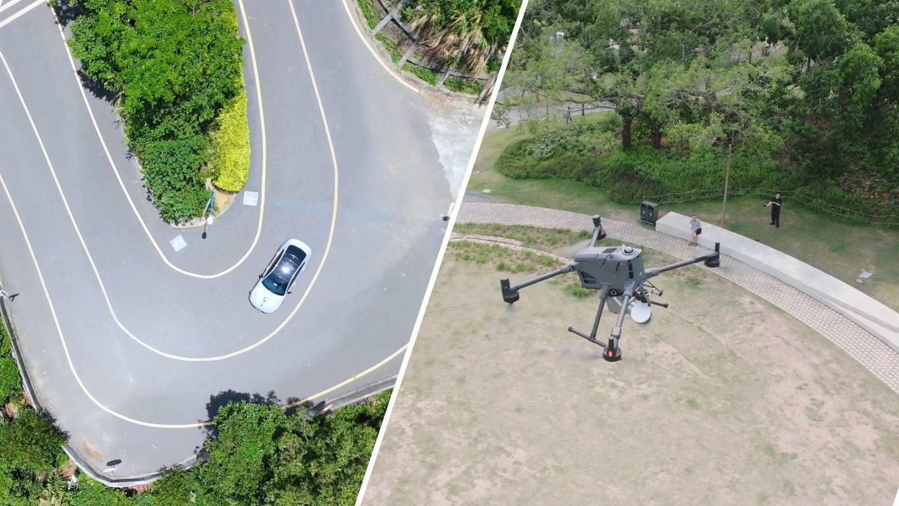
Handheld, vehicle or drone
Get through large, complex environments handheld, from a vehicle or from the air. A range of up to 120 m helps you cover more of the site even in changing conditions.
Where T1 is used
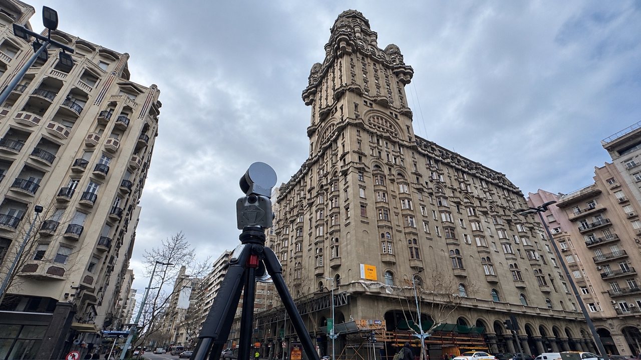
Architecture and construction
Documenting buildings and facades – cover the whole site in mobile mode and scan important details from a tripod.
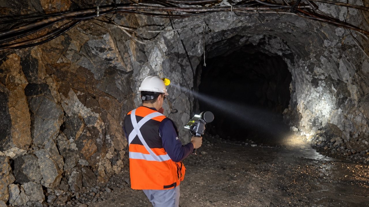
Mining and quarries
Cover large quarries and underground spaces in mobile mode with a range of up to 120 m.
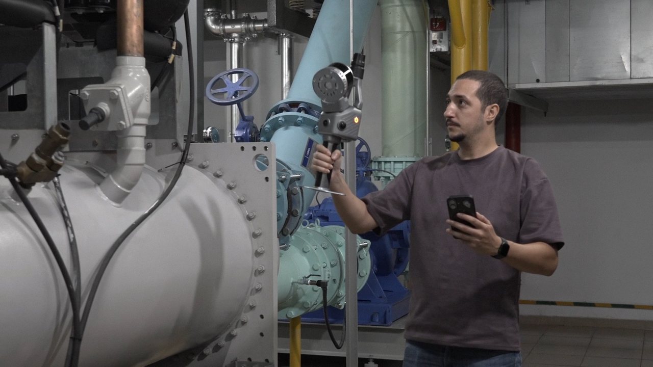
Industry
Industrial structures and plants where you need an overview of the whole and an accurate record of selected areas.
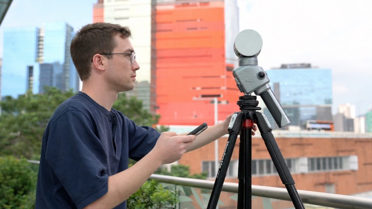
Surveying and mapping
Georeferenced data thanks to GNSS with RTK and PPK support.
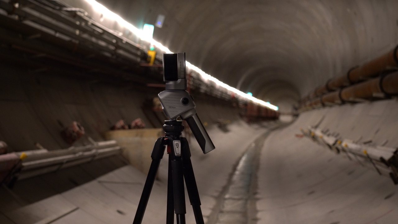
Infrastructure
Tunnels, bridges and other linear structures with detailed capture of critical sections.
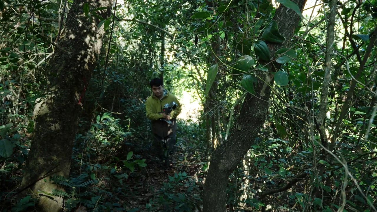
Forestry and tree care
Point clouds of forest stands for forestry analysis in FJD Trion Model software.
Technical specifications
FJD Trion T1 FAQ
What is the FJD Trion T1?
The FJD Trion T1 is a hybrid mobile and terrestrial LiDAR scanner. It combines flexible mobile scanning for fast site coverage with tripod scanning for places that need higher accuracy and detail.
How does T1 differ from a handheld SLAM scanner?
T1 adds a separate terrestrial mode to mobile capture. Walk large areas freely, and at selected spots put the device on a tripod and capture higher-accuracy data with the same scanner.
What accuracy does T1 achieve in each mode?
Mobile mode offers relative accuracy of up to 1 cm. Terrestrial mode achieves 4 mm at 10 m and 8 mm at 30 m. You choose the mode according to the measurement requirements of each part of the job.
How long does a terrestrial scan take?
T1 offers selectable scan density, taking 30 seconds to 2 minutes per station. Higher density captures more points while keeping the same nominal accuracy, so you can balance speed and detail.
What applications is T1 suited to?
Building documentation, industrial engineering, infrastructure, mining and quarries. The hybrid approach is especially useful on jobs where you need to cover the whole site efficiently and capture selected areas in detail – such as facades, industrial structures, tunnels and bridges.
What software does T1 work with?
Process the data in FJD Trion Model, which offers point cloud processing, mesh, 3DGS, CAD/BIM, section analysis, forestry analysis and other tools. FJD Trion Model Web lets you open, review, share and hand over project data directly in the browser.
Does T1 support GNSS?
Yes. T1 supports the BDS, GPS, GLONASS, Galileo and QZSS satellite systems. RTK accuracy is 8 mm + 1 ppm RMS horizontally and 15 mm + 1 ppm RMS vertically, and PPK mode is also available.
Want to see T1 in action?
We will show you the scanner on your own project, walk you through the whole process from capture to deliverables and prepare a tailored quote.