
Cart (
0
)
No items found.
Go to pricingProduct is not available in this quantity.
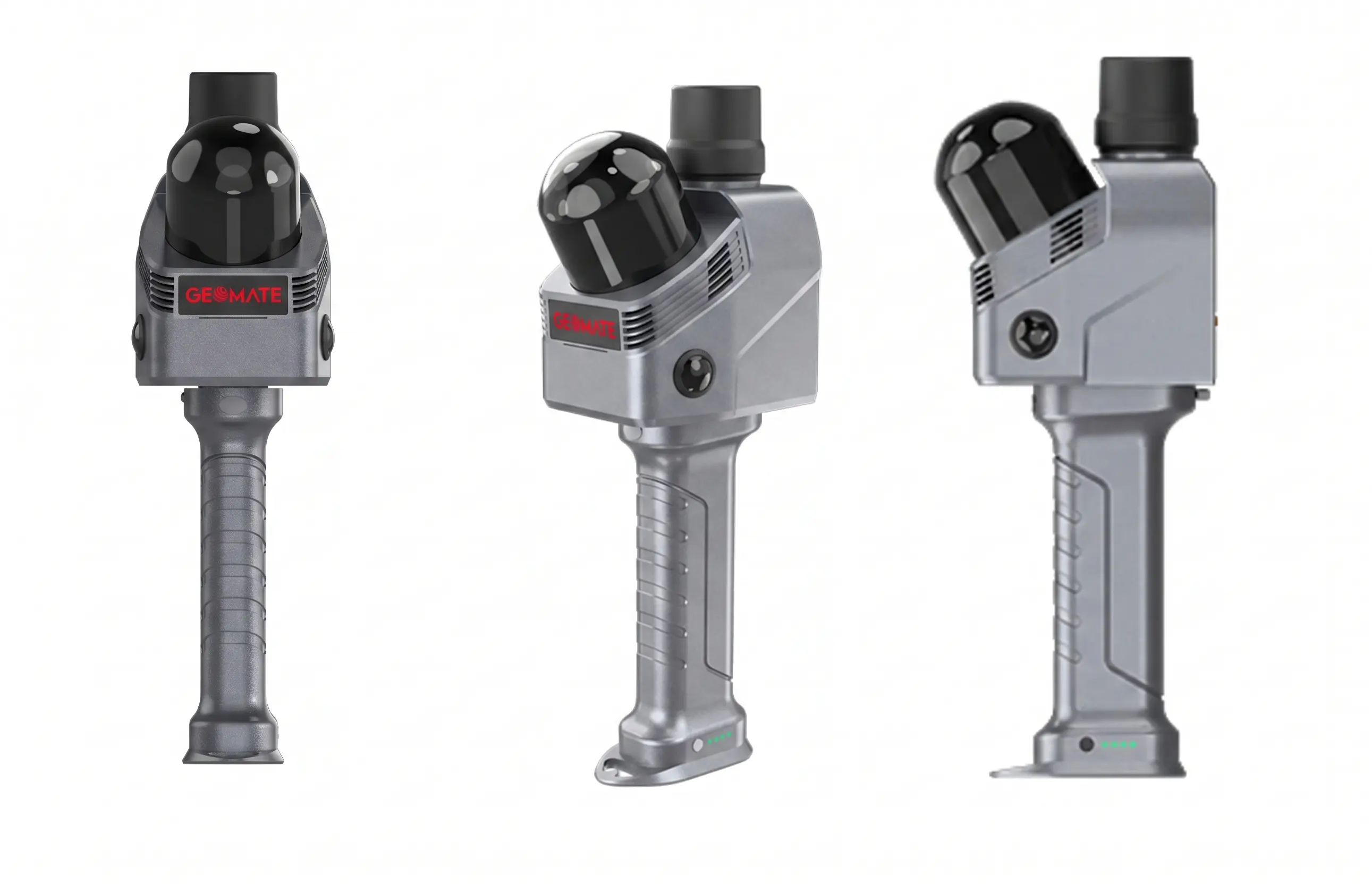
A handheld 3D LiDAR scanner with real-time SLAM for scanning buildings and interiors. It combines high-accuracy inertial navigation, LiDAR with up to 1.15 million points/s, an ultra-wide 360°×189° field of view and HD imaging for fast, accurate 3D data capture.
points per second
LiDAR channels

scanner range
field of view (FOV)

relative accuracy
HD cameras
Up to 1.15 million points per second and an ultra-wide 360°×189° field of view capture the entire space in a single pass.
An IMU with bias stability better than 0.5°/h ensures reliable motion tracking even without a GNSS signal.
Two 48 MP cameras capture sharp images even in poor light for true-to-life colourisation of the point cloud.
Combining inertial navigation and SLAM reliably tracks motion even in environments with few landmarks, such as corridors and tunnels.
Cloud processing creates a realistic colour reconstruction of the scene for presentations and documentation.
Direct integration with CHCNAV CoCloud automates data processing from scan to finished output.
Building documentation, as-built models and BIM data in survey-grade quality.
Fast interior surveys for design, renovation and property management.
Capturing crime and accident scenes in 3D for analysis and documentation.
Digitising monuments and historic buildings for preservation and presentation.
Mapping tunnels, cellars and GNSS-denied spaces thanks to SLAM navigation.
Capturing accurate spatial data as the basis for BIM and digital twins.
We will be happy to advise you and call you back.
Leave us your contact details and our sales representative will get in touch as soon as possible to explain everything in detail.