Cart (
0
)
No items found.
Go to pricingProduct is not available in this quantity.
A professional handheld LiDAR scanner for outdoor surveying. 10 mm accuracy, an integrated RTK module and support for more than 8,000 coordinate systems.

Measurement accuracy

Device weight
Points per second

Battery life
Range

The S2 combines a camera, IMU and RTK module with advanced VIO and SLAM algorithms in a compact 1.8 kg device.
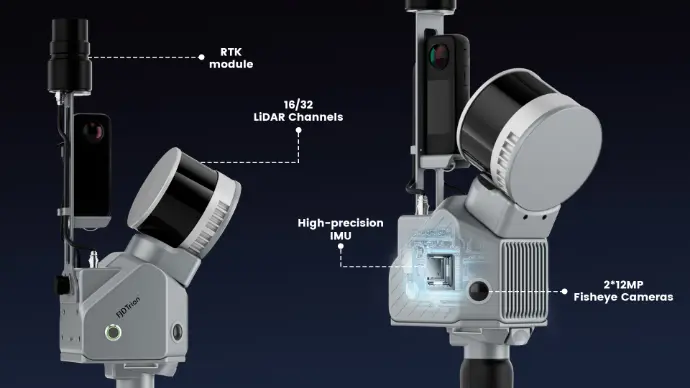
The S2 PRO and S2 MAX feature a 32-channel sensor capturing 640,000 points per second.
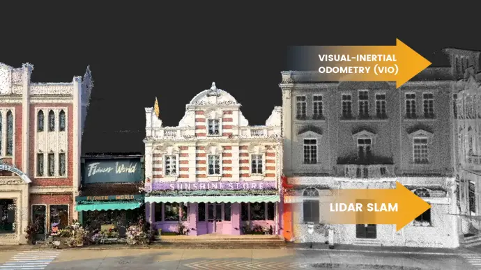
Integrated 2× 48 MP cameras colorize every point in the cloud for an accurate visualization.
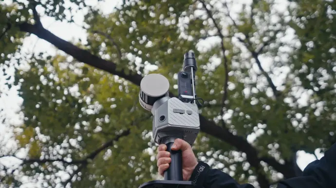
The S2 MAX measures at distances of up to 300 m for efficient scanning of large sites.
The S2 Series comes in three versions: the entry-level S2 with 16 channels and a 120 m range, the S2 PRO with 32 channels and 640,000 points/s, and the high-performance S2 MAX with a range of up to 300 m. All models weigh 1.8 kg and offer 3 h of battery life and 512 GB of storage.
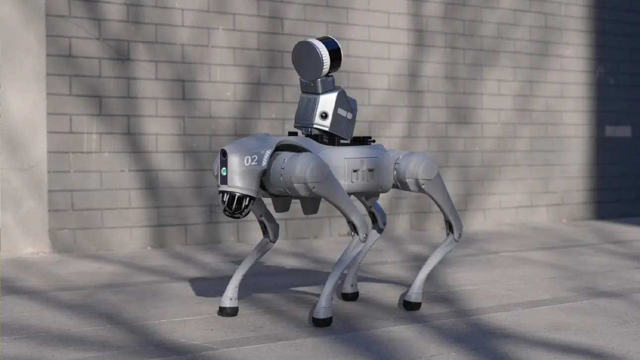
The built-in GNSS module supports GPS, BDS, GLONASS and Galileo and delivers a horizontal accuracy of 8 mm + 1 ppm and a vertical accuracy of 15 mm + 1 ppm. The S2 supports more than 8,000 coordinate systems, so it is ready for projects anywhere in the world.
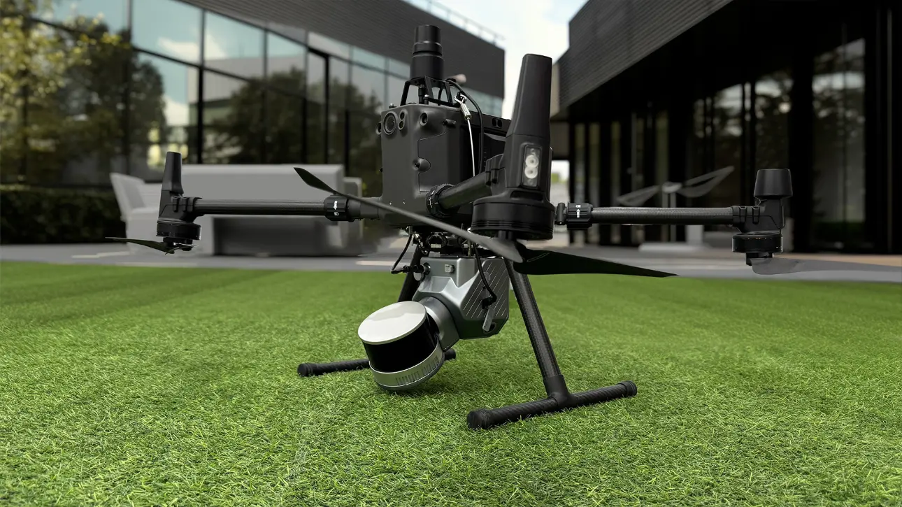
FJD Trion Scan handles data capture in the field. FJD Trion Model then takes care of processing, reporting and export to LAS, PLY, OBJ, DXF and other formats. Everything runs on a single device, with no external software.

Accurate terrain mapping and digital elevation models for site and infrastructure surveys.
Site documentation, scan-to-CAD/BIM, quality control and as-built documentation.
Tree inventory, measurement of tree height and trunk diameter, and stand density analysis.
Mapping of underground spaces, stockpile volume measurement and monitoring of tunnel structures.
Structural integrity assessment, space planning and identification of necessary renovations.
Rapid documentation of accident sites, rescue operation planning and disaster mapping.