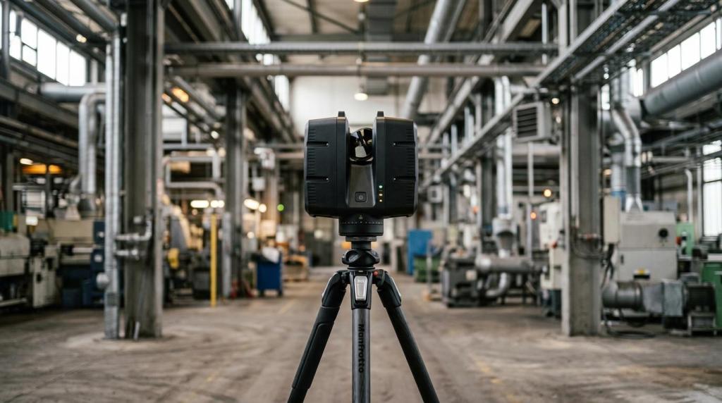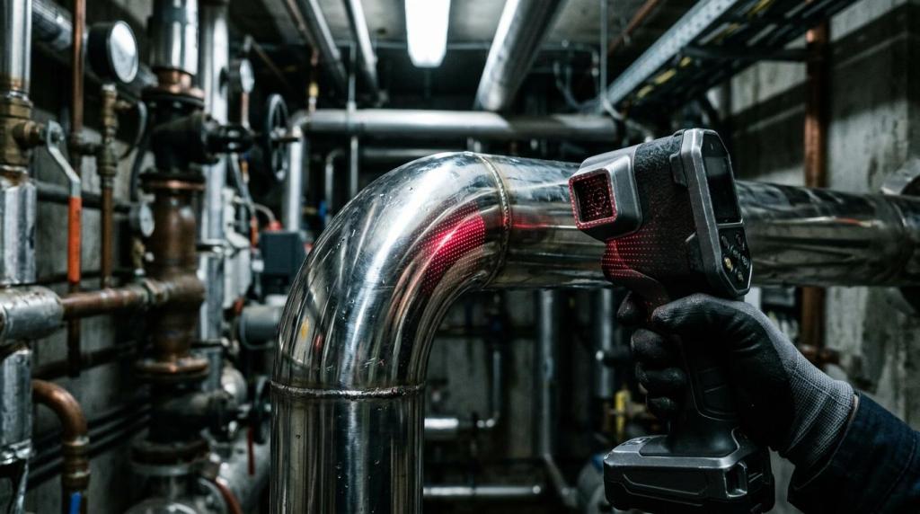
When an as-built survey is needed on site, the choice still often comes down to two approaches: manual measurement and 3D scanning. At first glance, the manual method may seem simpler. A tape measure, a laser distance meter, a notepad and a few photos should be enough, right? But this is exactly where, in practice, the gap opens up between quickly jotting down a few dimensions and having data that is genuinely usable for design, renovation or building documentation.
Construction scanners change one thing above all: they don't just collect individual dimensions, they capture the entire space. That has a direct impact on time on site, the accuracy of the outputs and the number of repeat visits to the building. And repeat trips to the site are often the most expensive item in manual measurement, even if they are not visible at first glance.
Choosing between a scanner and manual measurement is therefore not just a question of technology. It is a question of productivity, risk of error and the quality of data for the work that follows.
Construction laser scanning vs manual measurement: where the real difference lies
Manual measurement works well when the building is small and simple and only a limited number of dimensions is needed. But as soon as irregular walls, lots of building services, historic structures, articulated facades or plant rooms come into play, the manual approach becomes slow and fragile. Every missed dimension can come back to haunt you when drawing the documentation, modeling or during construction.
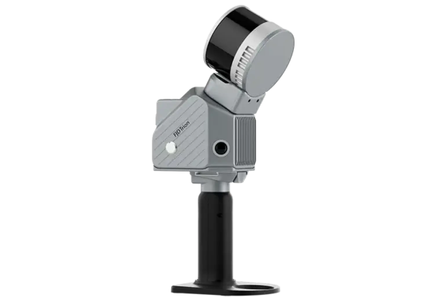
A 3D laser scanner for construction works differently. In a short time it captures the space as a whole and creates a point cloud – a digital imprint of the existing conditions. From it, 2D drawings, sections, elevations, 3D models or BIM data are then prepared. An important advantage is that a great deal of information is already stored during the first data capture, so there is no need to go back and measure it later.
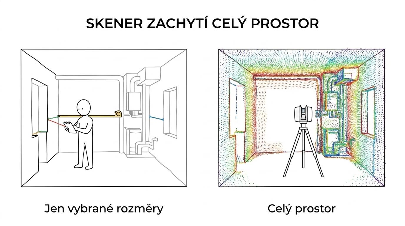
That does not mean scanning always beats manual measurement at every step without exception. Part of the time shifts from the field to the office, where the data is registered, checked and processed. Even so, the overall benefit is usually significant, especially for more complex buildings.
| Criterion | Manual measurement | Construction 3D scanner |
|---|---|---|
| On-site data capture | Dimensions recorded one by one | Fast capture of large volumes of data |
| Risk of omissions | Higher | Lower |
| Repeat site visits | More frequent | Less frequent |
| Outputs | Sketches, tables, supplementary photos | Point cloud, 2D drawings, 3D models, BIM |
| Suitability for complex spaces | Limited | Very good |
| Post-processing effort | Low | Higher |
Measuring speed on site: why a 3D scanner saves time
The most visible benefit of a scanner is in the field. Where a team measuring by hand would walk from room to room, checking diagonals, opening heights, plumbness and the position of services, a scanner can record the space from a series of setups in a much shorter time.
An academic study by Tan et al., published in 2024 in the journal Remote Sensing (MDPI), described an indoor survey based on 3D laser scanning with a total time of 28.5 minutes. Compared with a conventional manual method, this meant a saving of 27.5 minutes, or 49.11% of the measuring time. That is a very interesting figure, because it is not a marketing claim but a comparison of procedures within a specific methodology.
In everyday building documentation, this effect is confirmed in practice too. For a standard building, data capture can often be completed in one day; for larger properties, in two to three days. That matters especially for investors, site managers and project teams who need to move quickly from measurement to design.
Moreover, manual measurement rarely ends with a single visit. As soon as drawing reveals that a sill height, the exact position of a wall penetration or the shape of a stair flight is missing, it's back to the site. And these are precisely the return trips a scanner often prevents.
After the first visit, you usually have a much richer data set to work with.
Accuracy of construction scanners and completeness of documentation data
Speed alone is not enough. If it came at the cost of accuracy, it would make little sense in design preparation. The strength of construction scanners lies in combining fast data capture with a very good level of detail, including irregularities that are often overlooked in manual measurement.
The Remote Sensing study mentioned above evaluated accuracy against manual measurement for several parameters: 77.8% for flatness, 88.9% for plumbness and 95.9% for opening dimensions. The last figure is particularly interesting, because opening dimensions directly affect the design of windows, doors and prefabricated elements as well as trade coordination.
So a scanner does not just bring more data. It also brings a better ability to capture the existing conditions as they really are – not as we assume them to be based on a few manually taken dimensions.
This shows above all in:
- complex historic buildings
- plant rooms with building services
- production halls and industrial sites
- facades with irregularities
- base data for renovations
- building documentation without up-to-date drawings
Manual measurement tends to simplify space. In a simple warehouse, that doesn't matter. In the renovation of an apartment building, a brownfield or a machine room, every simplification can prove expensive.
Point cloud, 2D drawings and BIM: what a scanner delivers after the survey
One of the biggest advantages of construction scanning only becomes apparent after you return from the field. The result is not just a list of dimensions, but a digital dataset you can keep working with systematically. After registration and processing, you get a point cloud that captures the building's geometry at high density.
From this data, classic 2D drawings, floor plans, sections and elevations can be produced. But it can equally serve as the basis for 3D modeling or BIM. That is a key benefit whenever the existing conditions of a building are to become the basis for a renovation design, asset management or long-term records.
Experience from facility management has long shown that older surveys taken by hand are often insufficient once a project is under way. Questions arise during design that the original sketch did not capture. With scanning, the situation is usually different, because much of the information is already stored in the data and can be revisited without another trip to the site.
To be fair, the other side should be mentioned too. Scanning alone does not automatically mean finished documentation. The data has to be cleaned, checked, correctly registered and converted into the required output. So part of the time saved on site shifts to post-processing. The difference is that office processing is usually easier to plan than repeated, improvised re-measuring in the field.
The most common outputs of construction scanning are:
- Point cloud: the basis for checking existing conditions and further modeling
- 2D documentation: floor plans, sections, elevations, building records
- 3D model: a spatial representation of the building for design and coordination
- BIM data: input for Revit, AutoCAD, Archicad and other environments
- Verification comparison: checking dimensions, deviations and clash points
It is precisely this range of outputs that most sets a scanner apart from ordinary measuring with a tape or laser distance meter.
When manual measurement still makes sense
Despite the rapid development of 3D technologies, manual measurement is not an outdated method with no place left. In some situations it is still a sensible choice – typically small spaces, simple layout changes, or cases where only a few basic dimensions are needed and there is no requirement for detailed documentation.
The advantage of manual measurement is the low entry effort and a quick start. If a technician needs to check the width of an opening, the length of a wall or the height of a suspended ceiling in a single room, a scanner would be overkill – especially if neither a drawing nor a model will be produced from the data.
The sensible question is therefore not whether a scanner is always better, but when it is better given the project's goal.
In practice, manual measurement is suitable mainly when:
- the scope of measurement is very small
- only a few check dimensions are needed
- no 3D model or BIM output is planned
- the space is easily accessible and geometrically simple
As soon as the requirement shifts toward building documentation, trade coordination, renovation design or recording the existing conditions, the scanner gains the upper hand.
How to choose between a construction scanner and manual measurement by type of job
The most practical approach is to decide based on three criteria: the size of the building, the required level of detail and the form of the output. It is the combination of these three factors that determines whether a manual approach will suffice or whether LiDAR or terrestrial laser scanning makes more sense.
For a small office ahead of a minor layout change, a manual survey may be perfectly adequate. For an apartment building without up-to-date documentation, an industrial hall, a historic building or a site with multiple buildings, reaching for a scanner is usually the better option – not only because of speed, but also because of the certainty that most of the necessary data will be captured on the first visit.
Another strong argument for construction scanners is the future use of the data. If the building will not be dealt with just once but will serve as a basis for further phases, asset management, expansion of operations or technical records, the value of a well-captured point cloud grows over time.
This is clearly visible in building documentation projects. When the goal is to create reliable as-built documentation and prepare outputs for CAD or BIM, scanning generally brings faster data capture, fewer repeat site visits and greater certainty of completeness. And that is the difference that shows in design and construction practice – not only in the schedule, but also in the cost of the next steps.
Free download: Checklist: 8 questions before buying a 3D scanner – accuracy, range, software and total cost on a single page.