A LiDAR scan can capture a huge amount of data in a short time. But the real value only appears once the point cloud turns into a drawing, a BIM model, a check measurement or a reliable basis for managing a building.
That's exactly where Trion Model comes in. The desktop version is designed for professional point cloud processing, while the web version moves part of the work straight into the browser. The result is simple: faster access to data, less dependence on a local installation and easier collaboration between surveyors, designers, the client and facility management.
What are Trion Model and Trion Model Web?
Trion Model is software for processing and analyzing 3D point clouds from LiDAR. According to 4CAD product information, it is a professional tool covering the entire data chain, from importing raw scans through registration and cleaning to vectorization and export to common CAD/BIM formats. It is said to offer more than 30 tools, several industry editions and support for a wide range of data formats.
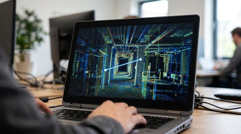
Trion Model Web builds on this in a different way. According to official FJD Trion information, it is a browser-based platform, i.e. a solution accessed through a web browser. Users can measure distances, angles, heights or areas directly on the point cloud without having to sit at a full workstation with the desktop software installed.
This is particularly handy when you need to quickly check the condition of a scanned object, confirm a dimension with the client or prepare data for further processing.
It isn't just a tool for surveyors.
In practice, it is used by architects, renovation designers, BIM teams, facility management, investors and technicians who need to turn reality into usable digital data quickly.
How point cloud processing works in Trion Model Web
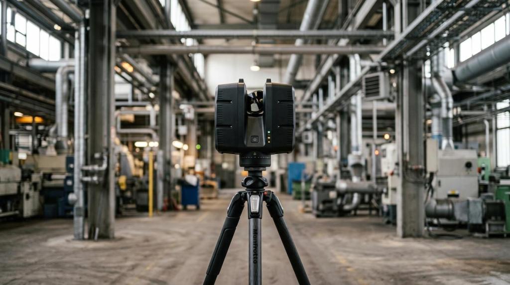
The basic principle is straightforward. Data is captured on site with a LiDAR scanner, typically a SLAM LiDAR device or static 3D scanning. The point cloud is then uploaded to an environment where it can be worked with, viewed, checked and measured. The key point of the web version is that part of this work happens directly in the browser.
This opens up interesting possibilities for teams that don't need full post-processing every time but want quick access to the data. Typical scenarios are checking a survey after returning from the field, sharing data with a designer or discussing a specific construction detail.
After the initial upload, the workflow usually looks like this:
- Data upload: the point cloud is transferred from the field scan to an environment where it can be processed further.
- Registration and organization: the data is merged, aligned and prepared for viewing or more detailed processing.
- Measuring on the point cloud: users check distances, heights, areas and other basic parameters directly in the environment.
- Handover to the CAD/BIM workflow: depending on the project goal, the data is exported or moved on to the next phase, for example to DWG, DXF, RCP, IFC or Revit.
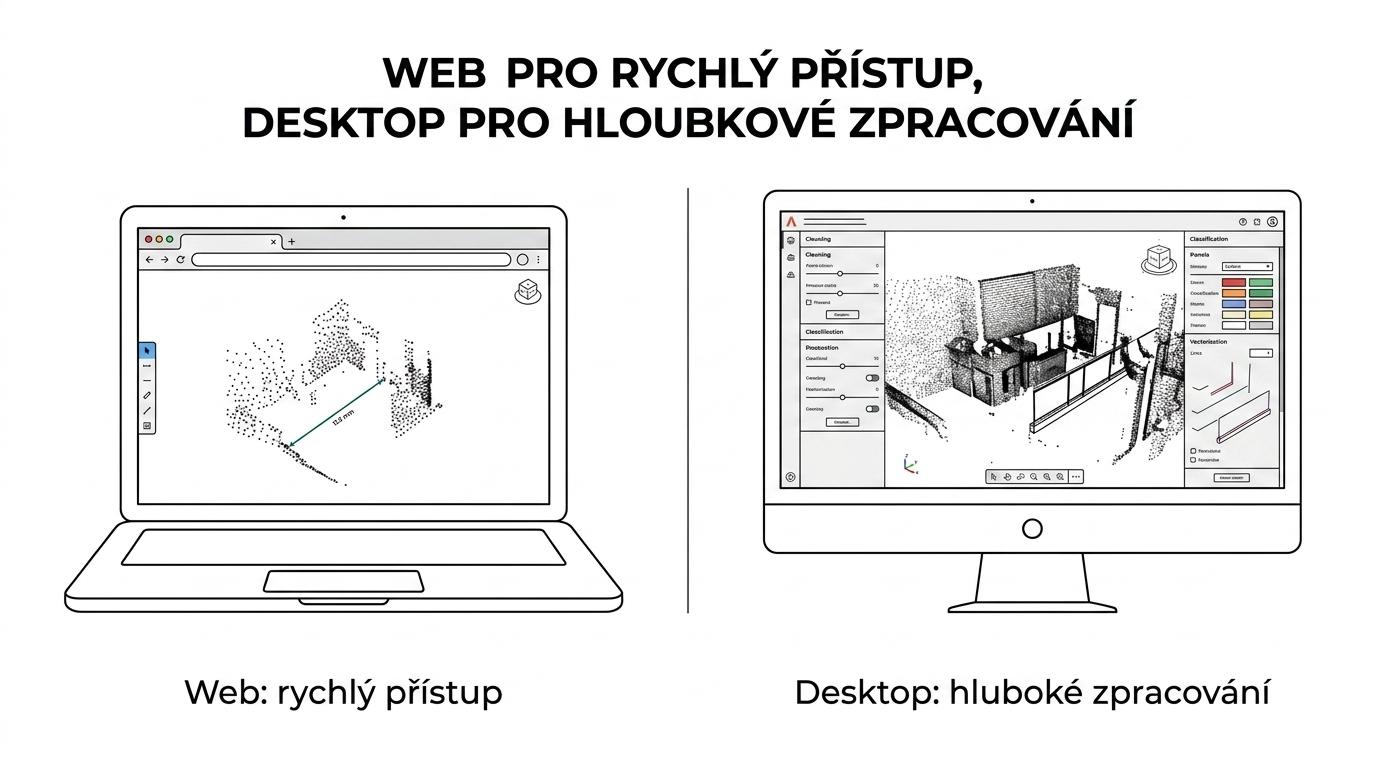
Where the web makes access and collaboration easier, the desktop version adds deeper data processing. This includes classification, more detailed cleaning, colorization, GNSS registration, vectorization and preparing final deliverables for design documentation and BIM.
Benefits of Trion Model for BIM, CAD and building documentation
The biggest benefit is a shorter path from scan to usable output. In many companies, there is an unnecessary delay today between field data capture, quality control, handover to designers and the modeling itself. When processing is concentrated in one workflow, there is less manual switching between tools and less risk of losing something during conversions.
From a designer's point of view, the key value is that the point cloud is not just an archived record of reality. It becomes a measurable basis for 2D drawings, sections, facades, volume checks, as-built documentation or a BIM model. For renovations and conversions, that means fewer assumptions and more data.
For facility managers and property owners, something else matters. A high-quality digital basis makes building documentation, updating records and understanding the technical condition of a building much easier. This carries a lot of weight because of the obligations associated with operating designated technical equipment under Czech Act No. 250/2021 Coll.
In practice, the benefits most often show up as:
- a faster path from scan to drawing
- less data loss during conversions
- easier sharing via the browser
- instant basic measurements on the point cloud
- better data for BIM and 2D documentation
It is worth keeping a realistic view, though. Neither the scan nor the software replaces the mandatory operating documentation of a building. If a building contains electrical installations, lightning protection, boiler rooms, pressure equipment, gas distribution or lifting equipment, the operator must also take care of accompanying documentation in Czech, inspections, tests, local operating safety regulations and archiving of records. Here, Trion Model helps as an accurate basis for building documentation, documentation audits and finding your way around the building, not as a substitute for legal obligations.
That is why it pays to combine 3D scanning with a clear operating procedure: appoint a responsible person, review the documentation, track down missing records or have local operating safety regulations (MPBP) prepared, arrange inspections by authorized persons holding a valid TIČR authorization (Technical Inspection of the Czech Republic) and keep the archive up to date. The digital building model then stops being just a visually impressive output and becomes a working tool.
Desktop vs web: comparing the two versions of Trion Model
The difference between the two versions is not that one replaces the other. They make sense together. The web speeds up access and communication, while the desktop handles in-depth production and final deliverables.
| Area of work | Trion Model desktop | Trion Model Web |
|---|---|---|
| Deployment | installed on a workstation | access via browser |
| Typical role | data processing specialist | designer, consultant, manager, reviewer |
| Basic measurements | yes | yes |
| Advanced point cloud editing | yes | limited, depending on available features |
| Vectorization and CAD/BIM deliverables | yes | rather a follow-up step |
| Sharing and quick access | good, but tied to a local machine | very strong |
| Post-scan check | yes | very convenient |
In a company, this often means a clear split of roles. A technician or specialist processes the data to the required quality, while other team members can work with it quickly via the web. This model is especially efficient on larger projects where several disciplines are involved in decision-making.
Typical uses of Trion Model in renovation, surveying and facility management
Trion Model for renovation and design
With older buildings, the biggest problem is simple. Existing documentation tends to be incomplete, outdated or non-existent. A LiDAR scan quickly captures the as-built condition, and Trion Model helps turn it into data for the next design stage.
Designers then work with the exact geometry of the space rather than estimates. This makes a real difference in complex plant rooms, historic buildings, attics, technical floors and production halls, where conventional measuring is expensive and takes too long.
Trion Model for building documentation and facility management
Here the benefit is exceptionally strong. Documenting a building isn't only about floor plans and facades. It often involves mapping the as-built condition, recording technical equipment and understanding access routes, risers, server rooms, switchboards, boiler rooms or lifts. An accurate point cloud shortens the time needed for the survey and reduces the number of repeat site visits.
In facility management, the pressure for traceable records is also growing. If drawings, manuals or operating documentation are missing, a digital model helps map reality quickly and creates a basis for a further audit. This leads to practical steps that have a real impact: tracking down accompanying documentation, preparing the MPBP, an inspection plan and fixing identified defects without unnecessary delay.
More detailed information on the workflow from scan to documentation is available from 4CAD and on an ongoing basis at Techcad.cz, which often covers the broader context of digitalization in construction, CAD/BIM processes and working with technical data.
Trion Model for surveying and technical measurement
Surveying and technical applications rely on accuracy, speed and data portability. When you need to quickly check a distance, height, area or volume relationship at a specific location, the web environment is very convenient. There's no need to wait for full post-processing to answer the basic questions of the brief.
But when the goal is a final basis for a project, detailed analysis or export to other software, full desktop data processing comes into play.
In practice, this split has proven itself:
- Web version: quick data checks, basic measurements and sharing with other project participants.
- Desktop version: detailed processing, cleaning, classification, vectorization and final export.
- Combination of both: fast team decisions together with professional preparation of deliverables.
Which formats and integrations does Trion Model support in the CAD/BIM workflow?
One reason tools like this are gaining ground is that they work with common formats. According to available information, Trion Model focuses on outputs and format support that are really needed in practice, such as DWG, DXF, LAS or RCP. That's crucial, because the point cloud itself is only an intermediate step. Its value shows only once the data flows smoothly into the design environment.
For BIM workflows, the connection to Revit and exports usable in IFC processes also matter. 4CAD materials also mention a link to Revit, where working with the model can be faster and less burdened by the usual export round trip. That's a strong argument for teams that want to keep continuity between reality, the model and the design documentation.
In practice, this continuity is often decisive. If a 2D drawing, a BIM model, a check measurement and a basis for asset management can all be prepared from one data source, the investment in scanning pays back much faster.
When to use Trion Model Web and when to choose desktop point cloud processing
The web version makes the most sense where speed, availability and collaboration are needed. It is suited to checking captured data, basic measurements, remote consultations or situations where the project team needs to quickly agree on next steps based on a single data source. It is also interesting for investors and facility managers who don't want to deal with full professional software but need to see the reality of the building and work with it.
The desktop is the right choice once the point cloud becomes production data, i.e. when data is cleaned, scans are merged, points are classified and vectors, sections, models and exports for CAD/BIM are created. If a company regularly processes larger volumes of data, the desktop version is the backbone of the whole process.
The strongest scenario, however, isn't either/or.
It's a well-structured whole in which field scanning, web-based review and desktop post-processing follow on from each other seamlessly. In this kind of setup, LiDAR data becomes not just an interesting visual output, but a fast and accurate tool for decision-making, design and facility management.