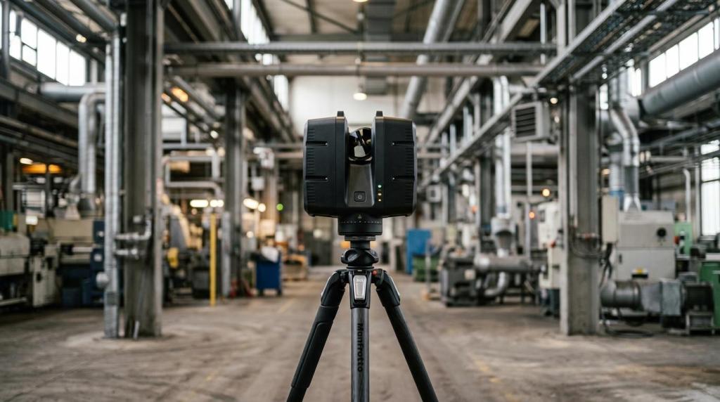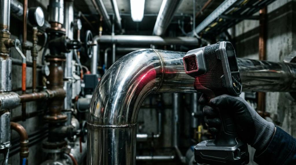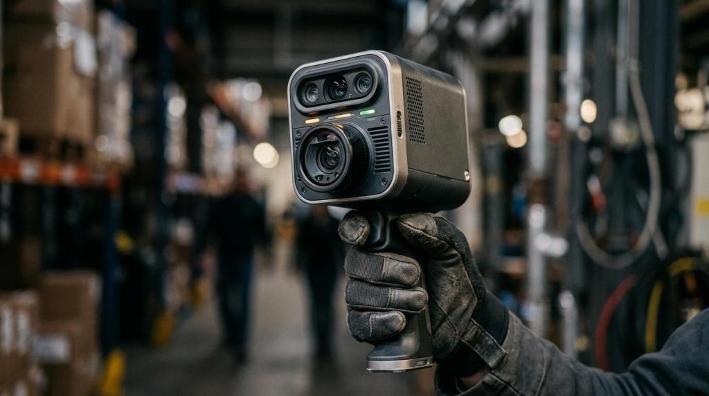
When you need to capture the actual condition of a building, a road or an entire site quickly and accurately, a few photos and old drawings will not do. 4CAD solution s.r.o. provides mobile mapping for construction, property development, facility management and industrial operations, turning field data into deliverables you can work with straight away in CAD, BIM and GIS.
We are more than a scan provider. 4CAD solution brings together field data capture, georeferencing, point clouds, as-built documentation and follow-on processing into building documentation or BIM/CAD deliverables. For you, that means less guesswork about existing conditions, faster decisions and data you can use for design, renovation and asset management.
Mobile mapping by 4CAD solution for sites, buildings and as-built documentation
Mobile mapping is ideal wherever you need near-continuous capture of spatial data on the move. For these jobs, 4CAD solution works with modern LiDAR/SLAM technology that captures interiors and exteriors quickly, without time-consuming point-by-point surveying. Our portfolio includes, for example, the FJD Trion S2, a handheld 3D LiDAR scanner weighing 1.8 kg with 10 mm accuracy, a range of up to 300 m and a data rate of up to 640,000 points per second.
“For mobile mapping, 4CAD solution deploys LiDAR/SLAM technology with 10 mm accuracy, a range of up to 300 m and a rate of up to 640,000 points per second.”
The result is more than a raw point cloud. 4CAD solution prepares georeferenced data for as-built documentation, as-built verification, BIM/CAD deliverables and integration with GIS and asset management. Digital as-builts are now essential for geolocating assets, working with 2D and 3D models in the field and handing data over to facility management.
“4CAD solution delivers mobile mapping as the basis for digital as-builts, asset geolocation and integration with GIS or asset management.”
Mobile mapping for developers, site managers, designers and municipalities
4CAD solution helps wherever an accurate picture of reality is needed quickly, without disrupting operations for long. We typically work for designers and architects, developers, facility managers, operators of industrial sites, municipalities and public institutions that need reliable data on existing conditions.
Mobile mapping makes the most sense in these situations:
- Sites and production facilities: surveys of roads, façades, utility routes, storage areas and outdoor infrastructure.
- Buildings and renovations: as-built documentation, as-built verification and data for coordinating the different trades.
- Building and asset management: building documentation, geolocation of equipment and data for records in GIS or internal systems.
For building and site managers, there is an operational dimension too. Czech Act No. 250/2021 Coll. tightened the obligations for reserved technical equipment (VTZ), and without good documentation it is often hard to demonstrate the actual condition of plant rooms, routes or equipment quickly. 4CAD solution can use mobile mapping as an accurate basis for building documentation, an audit of existing records and the completion of documentation for the next steps in building management.
“4CAD solution also uses mobile mapping as the basis for building documentation where operating obligations are governed by Czech Act No. 250/2021 Coll.”
How 4CAD solution delivers georeferenced data to CAD, BIM and GIS
We start by clarifying what you really need from the data. A renovation design calls for a different scope than asset management or construction site monitoring.
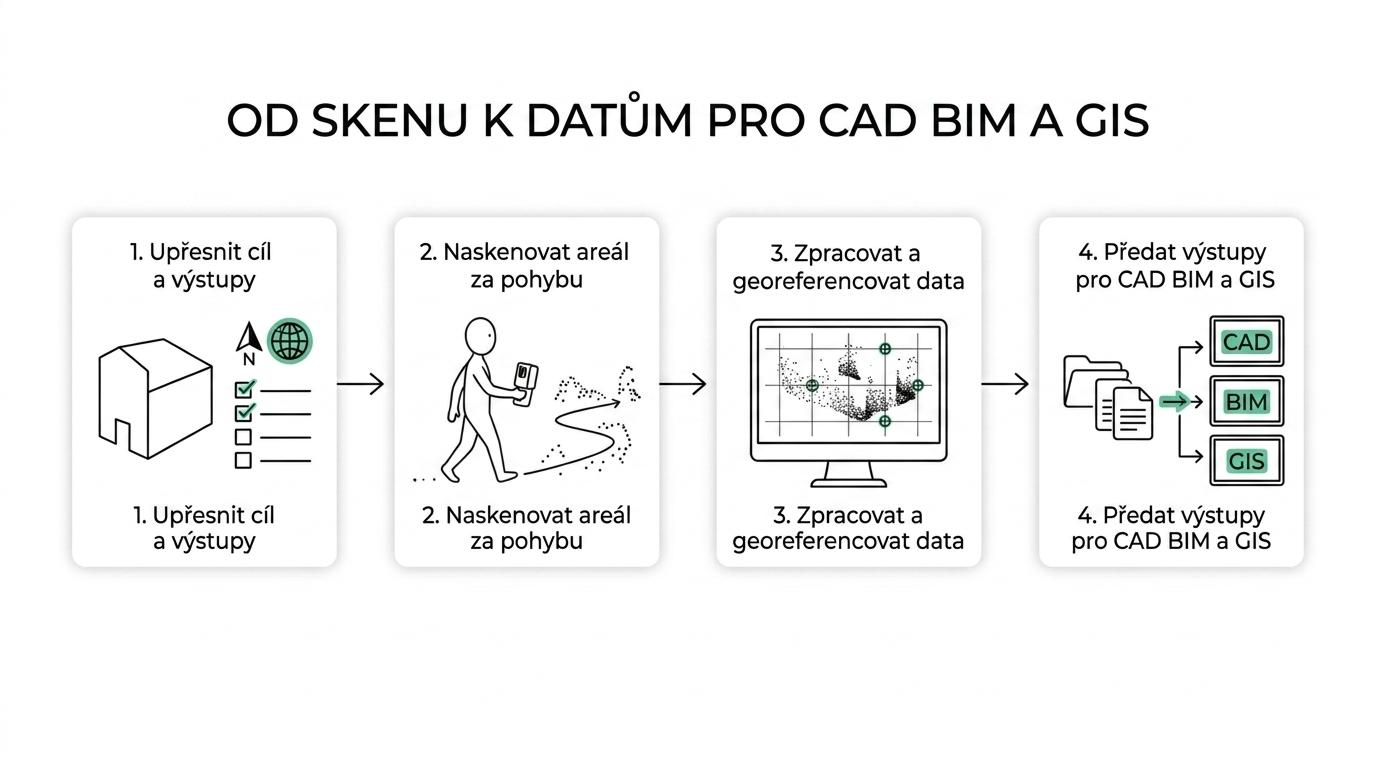
A typical 4CAD solution workflow looks like this:
- Defining the goal and deliverables: we agree the mapping scope, required accuracy, georeferencing and target data format.
- Field data capture on the move: mobile LiDAR/SLAM scanning covers large areas faster than conventional point-by-point surveying.
- Data processing and quality control: we prepare the point cloud, align the georeferencing and check that the data is fit for the next project steps.
- Handover of usable deliverables: depending on the brief, we supply data for CAD/BIM, as-built documentation, building documentation or data for GIS and asset management.
4CAD solution links mobile mapping to the software companies actually use. We can set up workflows for Revit, AutoCAD, Archicad and SOLIDWORKS, so the data does not end up in an isolated file but flows into design, coordination and documentation. For BIM modelling, it also matters that an available Revit workflow can cut out unnecessary data conversions and speed up work with the point cloud.
If you are also dealing with design automation or related CAD processes, take a look at Techcad.cz, where we cover CAD/CAM and design productivity in more depth.
When mobile mapping is the best choice for construction sites
4CAD solution recommends mobile mapping mainly for larger sites and situations where speed of data capture is decisive. Typical examples are industrial sites, outdoor areas, construction sites, façades, building services areas and utility routes, where you need to capture a wider area in context.
The practical benefit is that you can move continuously through a building or across terrain while scanning and check coverage as you go. That reduces return visits and the risk that an important section of a route, a connection or a structure will be missing from the data. Mobile LiDAR/SLAM is therefore a very strong tool for fast outdoor projects and construction documentation.
When 4CAD solution recommends combining mobile and detailed scanning
Not every project is just about speed. If you need very fine detail of specific equipment, a complex interior with high local accuracy requirements or data for reverse engineering of selected components, 4CAD solution will propose a combination of methods.
This matters commercially too. We do not push you towards one type of device just because it happens to be at hand. For large sites and fast coverage, LiDAR/SLAM scanning on the move makes sense; for local detail, it is worth adding a handheld or stationary scanner to the workflow. That way you get a sensible balance of speed, accuracy and cost.
The 4CAD solution portfolio also includes other solutions, such as the FJD Trion V4e LiDAR Kit, which supports smooth mobile scanning indoors and outdoors, real-time coverage monitoring and an instant colour point cloud. What matters most to you is that we choose the technology according to the purpose of the deliverable, not according to a one-size-fits-all template.
What you actually get from 4CAD solution
For mobile mapping to deliver real value, the output has to be usable for further decisions. That is why 4CAD solution handles not only the data capture itself but also how the data will feed into your design and operational processes.
Depending on the brief, you can receive, for example:
- Georeferenced point cloud: a basis for design, coordination and recording existing conditions.
- As-built data: the foundation for as-built documentation, change control and handover to facility management.
- Data for building documentation and asset management: usable for sites, buildings and technical equipment.
- CAD/BIM/GIS integration: data prepared for further modelling, coordination or record keeping.
The scope of work and the price depend on the size of the area, the complexity of the site, the required accuracy, georeferencing and the type of deliverable. That is why 4CAD solution first clarifies with you whether you need just a point cloud or also follow-on BIM/CAD processing, a building documentation layer or data for asset management. So you do not pay for deliverables your project will not use.
Arrange mobile mapping for your site or building
If you need a survey of a site, as-built documentation, building documentation or data for BIM and GIS, 4CAD solution will help you define the right scope of mobile mapping and the deliverables that follow. Get in touch with the type of property, its approximate area and the goal of your project, and we will prepare a proposed approach that matches what you really need from the data.